

I'd been in this area twice in the last seven years, and felt it was time to get back. Maybe I could catch the rhododendron bloom! So I put together a group for a three day hike in that area, including a hike to the top of Virginia's roof: spruce and fir covered Mount Rogers. Seven of us ended up going on the hike. Here are the other six at the trailhead in Grayson Highlands State Park.

This shows the track of the 15+ miles hike, essentially a big loop and hiking in a clockwise direction. We started Thursday at the purple star to the south, and hiked up to Rhododendron Gap, camping at the red circle. Once we set up camp, we hiked west to summit Mount Rogers (pink circle) and got water at a spring about a mile from camp. On Friday, we broke camp and headed northeast over Pine Mountain, arriving at Wilson Creek for a second night of camping out (blue circle). Saturday morning, we hiked just 2.5 miles back to the cars and got ready for the long drive home.

Where to start? The scenery in this area is often spectacular. The ponies eat continually and keep the high ridges as open country, almost as if it's above tree line. So this gives a lot of gorgeous open views.


And the ponies themselves are a big draw, especially the foals - which are really cute!


Here is the seven - eight if you count Brody, who used four wheel drive to get over the tough parts - of us partway through the first afternoon of hiking. We came from five different areas of Maryland, Virginia, and North Carolina, believe it or not. We had never hiked together before, and three of the group had never been backpacking!

Yours truly, pony in the background. The ponies are semi-wild. They are tolerant of humans but need to be treated like any wild animal. Don't touch or feed them. They will kick, and they will bite.

Here were the only Rhododendrons still in bloom!

Morgan heading up through "Fat Man's Squeeze."

Once we set up camp, we headed towards Mount Rogers. There are simply gorgeous views along the way.

Here are my companions on the summit of Mount Rogers, the highest point in Virginia.

There is not much a view from up there. It is covered in Fraser fir and red spruce.

On the way back, I filtered six liters of water at the Thomas Knob spring. Here, Raja filters water for his night.

We had a great campsite, plenty of open space for multiple tents. But it was chilly and very windy. Temperatures in the night were in the 30's. It's been raining up there for days - we lucked out and only had dry weather - and any wood we found was wet. We couldn't sustain a campfire, so we talked about great campfires we had known in the past. The cold and wind, and lack of a fire, resulted in an early bedtime for most of us.

Here is a satellite view of our trek up Mount Rogers: camping area (red circle), the summit (pink circle), and Thomas Knob spring (blue arrow). Note the open ground to the south. Without the ponies, it would look more like the forested area north of our track.

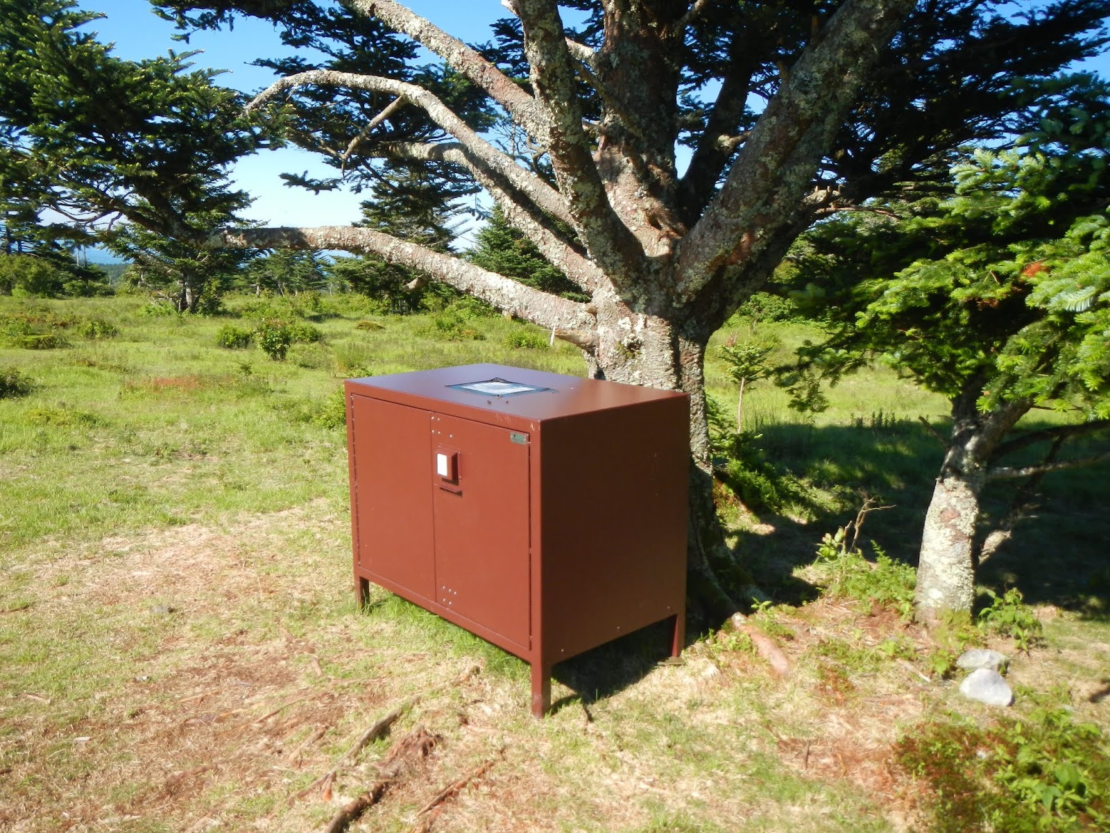
About 300 feet from camp was a nice bear box to put our food in. We didn't see a single bear, but kept hearing how aggressive they are around there about food.
In the morning, a large group of wild ponies was gathered near the bear box.

Here is another group photo. No, the land is not sloped like that. The camera was on my pack, which was clearly at an angle.

Friday was a delightful day of hiking! The weather was fabulous - sunny and cool but not chilly, and greatly diminished winds. We only had about 6.5 miles to cover, and most of it was downhill with no steep uphill sections.
Just past Rhododendron Gap (and its non-blooming rhododendrons) is this huge rock sticking upwards. Allen bravely climbed to the top, reporting amazing views to be had:

I give you the Griswold Family Christmas Tree:

We had two possible routes today - one going through more open country, the other going through more forested country. Guess which we chose?


After more wild ponies - this is my fourth time here, and I think I saw more ponies than on the other three combined - and....

a relaxing lunch break at the scales,

we arrived where I had planned on camping on Wilson Creek, just before the park boundary.

We ate dinner, and Morgan got a great campfire going, which we enjoyed well past "Hiker Midnight" (9PM).


Wilson Creek lulled us to sleep with its wonderful sounds, and

provided all of the cold, clear drinking water one could want just a stone's throw from our tents.

A couple of the group needed to get home by 5PM Saturday, so we hit the trail by 8:30 and only paused for a quick photo or two. Morgan, Rudy, and I are tired but happy,

as we enjoy the final views before reaching our cars and getting back to civilization.

This was my third time backpacking here since 2012, and it has been a charmed three trips - perfect weather - well, okay, a little chilly at times - every single day, good companions to hike with, beautiful scenery, and interesting animals. If you are into hiking, then this is a fabulous place to see!













