Monday, July 9, 2018

White Mountains: From Zealand Falls to Mizpah Springs

Prior Day: Galehead to Zealand Falls
Next Day: Mizpah Springs to Lakes of the Clouds

On Wednesday, June 27, our merry band of five left Zealand Falls Hut after breakfast.  We essentially took  three different routes for the day.  Chris badly wanted to hike the Appalachian Trail the whole way, so he left early to get a start on this 14 mile trek.  The rest of us decided to take the most direct route to Mizpah Springs, which was 9 miles.  And Mark, who followed that route, decided to quit the hike at Crawford Notch.

Here is the elevation profile for the hike.  We had some pleasant fairly level walking for a while, then went up steeply towards Mount Tom.  After that, there was a very steep descent - especially the first mile - to Crawford Notch, where the AMC Highland Center is, followed by a climb of about 2,000 feet up to Mizpah Springs.

Here is our track for the day.  The Highland Center at Crawford Notch is where Route 302 crossed our trail.  It was about two thirds of the way, and made for a good lunch break.

Fairly soon on the morning, we came to lovely Zealand Pond.

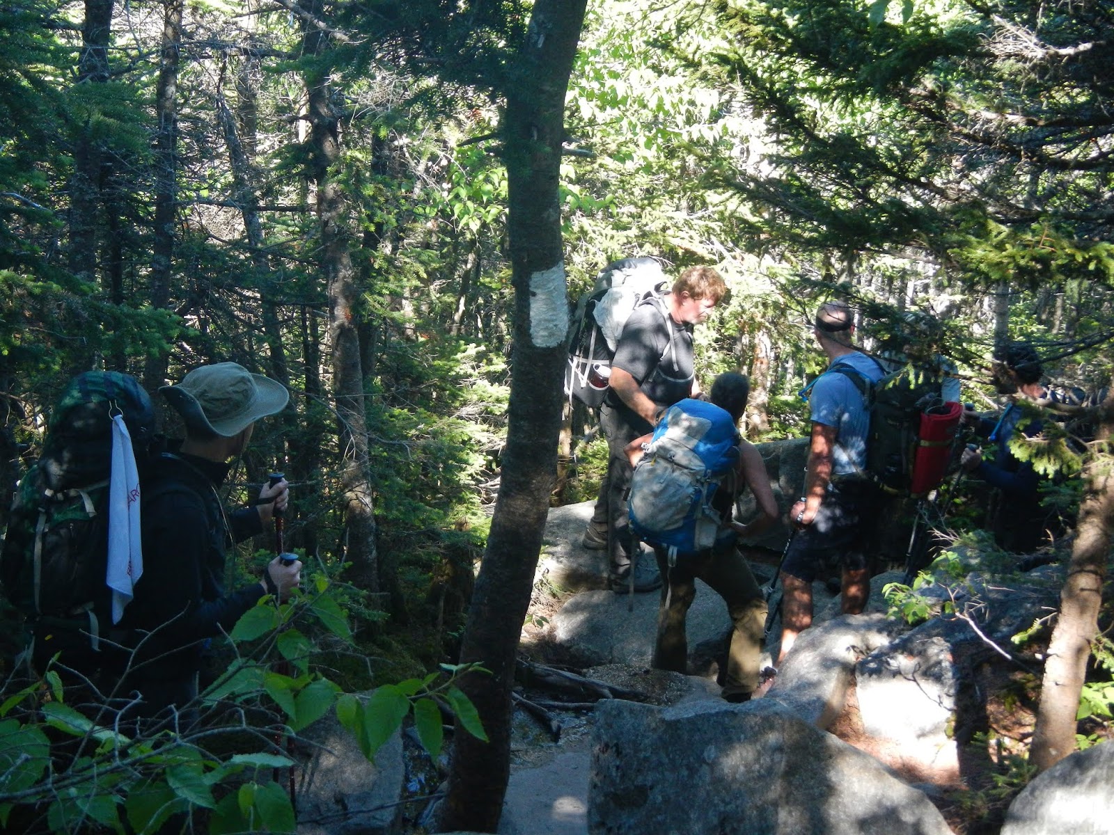
Mark and his son Josh on the trail.  Mark decided to take a rest from hiking after we got to the Highland Center.

I was walking along a very easy section of trail when I slipped on a rock, and before I knew it, I was tumbling to the ground, landing hard on my right arm and stomach - yes, the same arm that I injured in the fall of two days prior!  Lucky for me, the trail was mud at that point, and not rocks.  Had it been the later, I probably would have broken the arm and some ribs!  As it was, I felt foolish, and rather like a turtle trying to get back up with the weight of my backpack.  Given that my arm is still quite sore with a big bump now - two weeks after my original fall - I can't imagine how injuring it again would have felt.  In a little while, I found a nice stream, cleaned off the mud, and got a nice drink of refreshing mountain stream water.
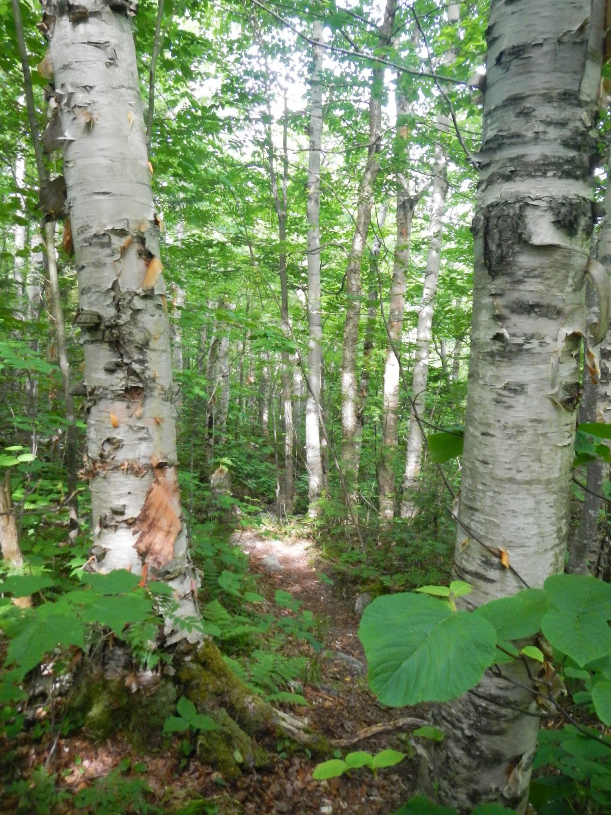
This part of the trail went through some beautiful forests, mostly northern hardwood.

Josh and Mark hike across a board bridge through a wet area.

I don't think that I've ever seen a tree so hammered by pileated woodpeckers.  Look at all of the chips on the ground around the tree!  It's like someone went at it with a wood chisel.

At this point, the trail was starting to climb and I left Mark and Josh behind, telling them that I would wait for them at the junction to Mount Tom.  I hiked up to that point - a steep little hike - and met up with Mike.  We speculated on how his brother Chris, was doing, then Mike went ahead towards the Highland Center, and I waited to make sure that Josh and Mark were okay.  I talked to other hikers as they came by, and when the other arrived, I started towards the steep downhill section of today's hike.  I ran into three groups of young girls with their leaders coming up the incredibly steep trail.  They were some kind of a large outing group, and all of them seemed a little distressed.  But I told them that we were all lucky to be alive and able to do something like hike up here in the Whites.  As tired as they were, I don't know if that went over well or not.

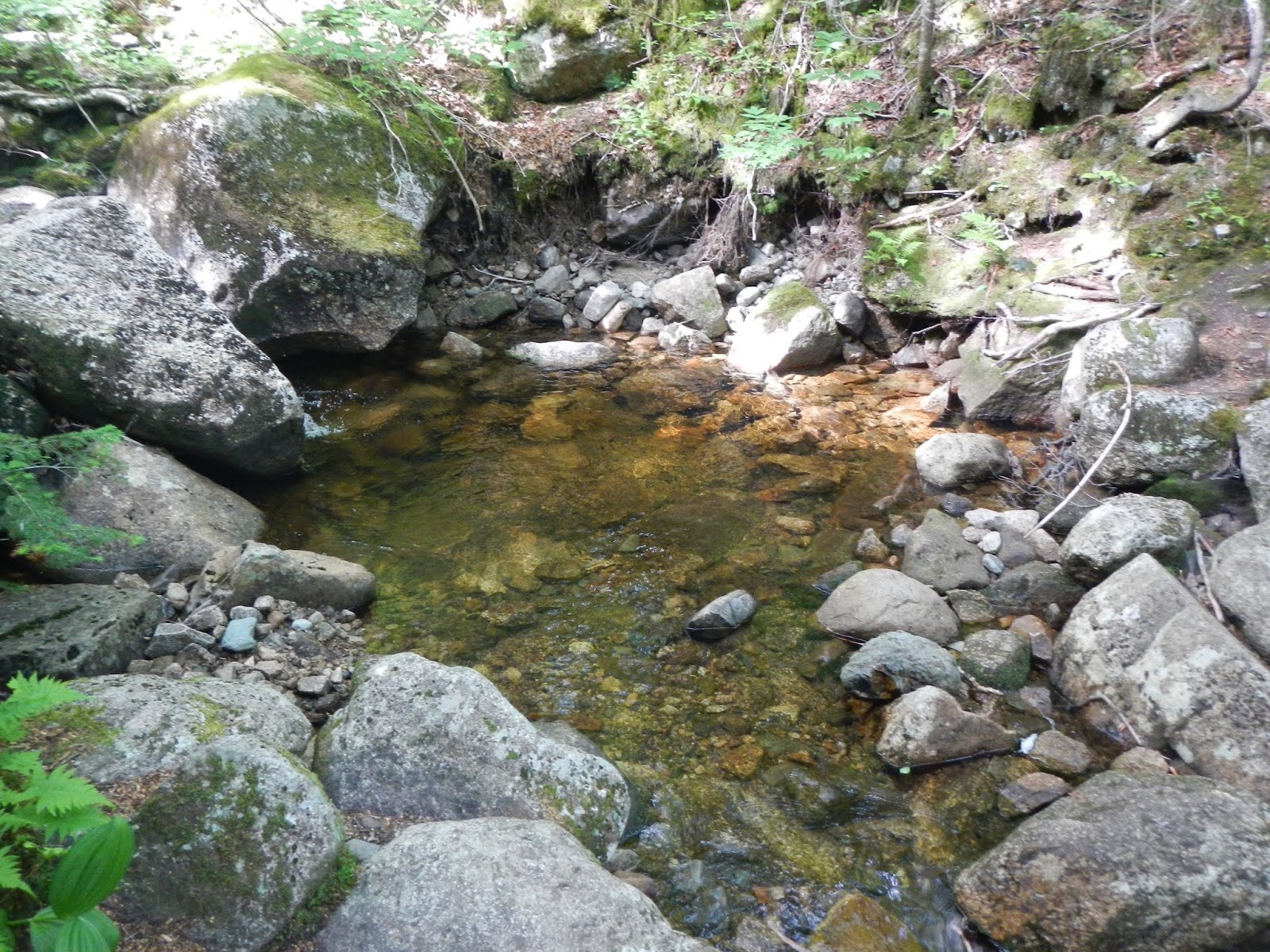
There were some nice streams on the way down.  I was not carrying as much water today because I knew that I could get water from the streams and at the Highland Center.

There is a scenic railway at the Highland Center that looked popular.


Lupines and the Highland Center.

The Highland Center is essentially a sort of hotel operated by the Appalachian Mountain Club.  It has bunk rooms like the huts, with shared baths, but it also has private hotel rooms with private baths, and it has access to all kinds of hiking trails.  It would be a great base camp for people that want to hike and sight see, but who don't want the more rugged experience of staying at the huts.  I met Mike here and we bought lunch - the Mount Tom panini, chips, and cold coke - which tasted great.  Then we waited from Mark and Josh.  When they arrived about an hour and a half later, Mark told us that he was going to stop his hike here, and would see us Saturday.  The other three of us continued up the Crawford Path towards the Mizpah Springs Hut.

The trail to the hut climbs steadily uphill to reach Mizpah Springs at about 3,800 feet.  It's a pretty trail, and all below the tree line.  We even got to see a waterfall - Gibbs Falls.  The trail was familiar to me because I hiked this part in 2007 with my younger brother Nur and my friend Dick Dreselly.  We did a point to point hike up here, on to Lakes of the Clouds, summit of Mount Washington, and descending down the steep Ammonoosuc Ravine Trail.

After reaching the hut in plenty of time for dinner for a change, we found our bunks and waited for Chris.

Chris showed up about 6:30, pretty worn out.  For his route, the first part of this hike had been the easiest hiking we had seen all week, but the second half more than made up for that when he had to climb about 1,500 feet in less than a mile.  He had also run out of water with several miles to go and must have consumed half of a pitcher in short order.  The weather forecast for the next day was not sounding good, so we all went to bed wondering what conditions would be like.


Sunday, July 8, 2018

White Mountains: From Galehead to Zealand Falls

Prior Day - Greenleaf to Galehead
Next Day - Zealand Falls to Mizpah Springs

After breakfast Tuesday morning, we hit the trail towards Zealand Falls.  We knew that today's hike would not be as difficult as Monday's.  It involved a steep climb out of the gate, but was more down than up the rest of the way, with some spots that were even a bit level.  It ended with a very steep descent of over 1,000 feet to the hut.  Here is the elevation profile.

And here is the track.

To start, we dropped about 100 feet, then climbed about 1,200 feet in seven tenths of a mile to the peak of South Twin and its magnificent views.  Here is the rest of my group taking a rest break part way up the climb.

Life is tenacious!

Once we got above tree line, I got a brief look back to Galehead Hut.

The view from South Twin was amazing, and 360 degrees.

Looking back to yesterday's hike: Mount Garfield on the right, and Mount Lafayette to the left of center.

The rest of the crew joins me on South Twin's summit.

From South Twin, we agreed to all meet up at a lunch spot near Mount Guyot, and Mike and I started hiking together towards that spot.  Once we got down off the heights, we ran into a male spruce grouse on the trail.  He was not concerned about us as long as we stayed at least 20 feet away.

Soon enough, we were treated to more great mountain views.

Mount Guyot reminded us a bit of Ireland.

Josh and the others joined us at the lunch break, then Chris and I started hiking together.  We arranged the next meet-up spot to be where the Zeacliff Trail meets the AT.

Here is Chris on the trail.

Much of the first part of the afternoon's hike was at the tree line.

After a while, we ran into a female spruce grouse.

Even though the hike today was not as tough as yesterday's, there were still plenty of steep parts.

I made a side trip of about a quarter mile to look at Zealand Pond, which was lovely.

The day was getting on when we reached the next meeting point.  This time, Chris went ahead, carrying a few of my things, so that he could make dinner, and I would wait for the others.  I waited about an hour for them as the black flies merrily sucked my blood.  But it was a beautiful and peaceful spot.  At one point, a northbound through-hiker asked me if there were water sources.  I told her that I didn't think so until one got close the hut, which was in 1.2 miles.  I gave her about half of my remaining water, as she had run out a while back.  When the others caught up with me, I knew that I would not be in time for dinner but I gave it a pretty good shot.  The final 1.2 miles to the hut dropped over 1,000 feet.  Here is one section where boards allow you to walk across a wet area.

Near the Zealand Falls Hut is a great stream with various waterfalls.  The hut generates some of its electricity by water power.

Here is the view from the porch of the hut.

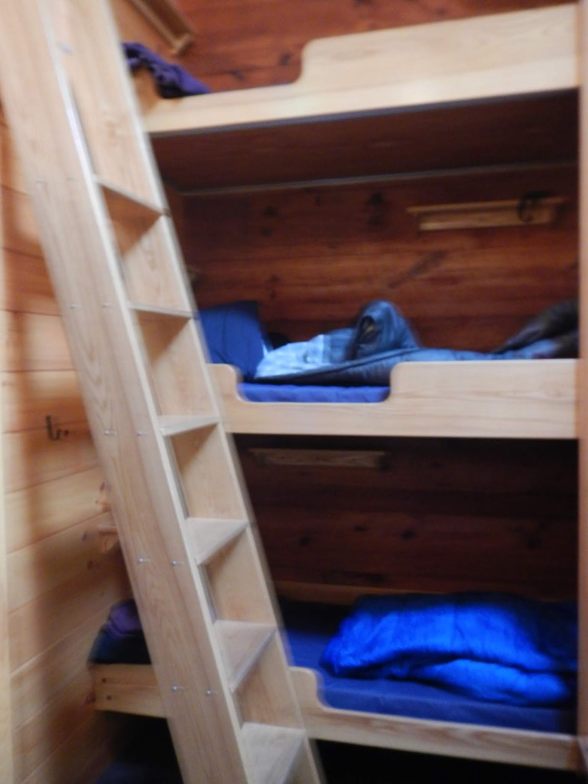
My berth in the bunk room was the third level bunk, but it had a high ceiling and was easy to climb into.  I put my stuff up there and joined a table, late, for dinner.  All of the delicious bread sticks were gone, but I got everything else.

The other three arrived about 40 minutes after me and got served late.  The huts are really good about that.  This was a beautiful day of the trail with great scenery and weather.  While it was not as tough as the day before despite being about as long, there were plenty of steep spots and plenty of climbs and descents.  From the day's high point of South Twin at 4,902 feet, we had descended nearly 2,300 feet net to the hut, with plenty of short climbs and descents along the way.  Tuesday night was the last night that all five of us would be on the trail together.


Saturday, July 7, 2018

White Mountains: From Greenleaf to Galehead

Prior Day - Hike to Greenleaf Hut
Next Day - Galehead to Zealand Falls

On day two of our White Mountains hike, we had to go from Greenleaf Hut at about 4,200 feet to Galehead Hut at about 3,800 feet.  Sounds simple, right?  Just walk down 400 feet.  Well, this hike of about 8 miles was the toughest hike of that distance I have ever done, bar none, that I can remember!  You start, after dropping 100 feet, with a 1,200 foot climb in about a mile up to the summit of Mount Lafayette at 5,260 feet, then drop about 1,500 feet.  After a series of steep ups and downs, you summit Mount Garfield at about 4,500 feet, then descend about 1,200 feet in less than a mile, including hiking down a waterfall!  After another roller coaster-like series of ups and downs, you do a final uphill climb of about 500 feet to finally reach the hut. And most of the trail involve stepping on large rocks and climbing over boulders.  I found it very slow going.  Here is the elevation profile for the hike - we hiked right to left between the red and blue arrows - with the section hiked Monday highlighted in the red box.


Here is the track for the day's hike, hiking west to east.  Mount Lafayette is at the red circle, and Mount Garfield is at the purple circle (more than halfway).

The mountains were in the clouds for the start of the hike, which began near the tree line in a spruce - fir forest.

As we climbed, the trees got shorter and shorter, and rock cairns were used to mark the trail.

At the summit of Mount Lafayette at 5,260 feet, we were in the alpine zone.  There was only about 200 feet of visibility, and strong winds.  My glasses were fogged over and I could barely see.

For much of this day, we were hiking in three groups: Chris out front, then Mike and me, and Mark and Josh (father and son) at the end.  Each group would periodically stop and wait for the group behind to catch up to make sure that everyone was okay.  This added time to the hike but also gave everyone a chance to take a break.  This photo shows Chris starting to climb up a rocky area back in the forest.  The rocks covered nearly every part of this trail.  Sometimes, some fairly slow and challenging climbs and descents had to be overcome.

About mid-day, the clouds began to dissipate, and we got out first views, this one of Mount Garfield in the distance.

Note the white blaze of the Appalachian Trail.  Most of our traverse was on the AT.  Note, too, how rocky the actual trail is.  This is a fairly flat section, which was rare.

I think that this boulder was nearly vertical and about 20 feet tall.  It took Mike and I several minutes to get over it, and we had some touch and go moments.

Mike is climbing up another steep section.

As we went back up and up towards Mount Garfield, we began to get views above the high spruce-fir forest again.

Mike and I made a side trip down to lovely Garfield Pond.

"Flat" and "White Mountains" are rarely used in the same sentence.  If you think of a trail as a nice, groomed foot path, think again!

Finally, we reached the summit of Mount Garfield.  Chris was waiting for us.  I snapped this photo of Mount Lafayette in the distance, 3.7 trail miles and many hours away.

The view from Mount Garfield was spectacular.

Gazing into the Pemigewasset Wilderness.

From here, we had a brutally steep downhill hike, including going down a waterfall.  The three of us hiked together for this section.  Somewhere along here, I slipped, fell backwards, and hit my right forearm on a rock.  It didn't break (neither did the rock!), but it raised a contusion nearly an inch high within about 30 seconds, and hurt like crazy.  Nearly two weeks later, it still hurts a fair amount.

The three of us reached our final meetup point of the junction with the trail to Thirteen Falls Campsite.  It was now about 4:15, and we still had 2.2 very tough miles to go.  Dinner was at 6:00.  We talked for a bit, and the decision was made.  Chris would wait for Mark and Josh (who turned out to be an hour behind).  Mike and I would each take some of Chris's gear to lighten his pack, and we would hike ahead to make dinner if possible.  Chris would wait to make sure that Josh and Mark, were okay, then make a dash for the hut.  We took the gear, and started hiking.  At this point, Mike was faster so he was ahead of me.  Here is a section - a tiny one - of real trail.

The remaining trail was just uphill and downhill sections, one right after another.  There were some nice views along the way.  But my legs were just feeling totally shot by this point.  You can't see it in the photo, but from this view, I could see the hut far away.  I still had 0.9 miles to go, and it was now something like 5.30, and I was so tired that I didn't care if I ate or not.  I knew that I would not be there by 6:00, so I just slowed down even more and carefully hiked, watching each foot placement on the steep trails.  I'd already taken the one fall, and didn't want to repeat that.  I'd get there when I got there.

One more steep section!  I would groan, and swear a little, every time that I came to one of these.  What I would give for a half mile of level, smooth trail!

I was hiking up one last uphill.  I knew I had to be close, as it was 6:35.  Suddenly, I heard a whirring noise, quite loud, to my right, and I turned my head.  There, through the trees, was the hut!  The whirring sound was its wind generator.  I literally said, out loud, "Thank you, Jesus!"  I reached the hut, and walked into the happy and busy dining room.  Mike had reached the hut 5 minutes earlier.  I was totally worn out, but found my bunk and dropped my pack.  The hut crew gave me an ice pack for my swollen arm and I iced the injury until Chris showed up about 7:00.  Then the three of us got served dinner together - so delicious.  I was hungry after all.  Mark and Josh arrived about 8:00.  I cannot even imagine how exhausted they were.  We had left Greenleaf Hut at 8:00AM!

Here is a view from Galehead Hut.

And here is another view, with the nearly full moon rising.  Later that night, Chris and I used a telescope that was in the hut to see the craters of the moon, and four of Jupiter's moons, which were incredible.

In my view, this was the single toughest day of the week, although I had some close runner-ups.  It was beautiful but so difficult, and despite some good preparation - including the 70 mile hike in Pennsylvania in May, I was not fully prepared for such a tough hike.  Despite loud snoring going on in the hut, I slept better Monday night, probably from being so tired.