Run training and then running the
Shamrock Half Marathon at Virginia Beach and the
Monument Avenue 10K 13 days later last weekend have beaten my legs up a bit, left me with a
sore left knee, and dominated my physical activities time for the last four months. As you can see if you follow my blog, I've had no real hiking time lately. But with this incredibly early spring, that had to change, and it did yesterday with my walk to black historical sites and monuments dedicated to black people in our fair city of Richmond. This was a walk I hoped to do during February, Black History Month, but could not get to it. Yesterday, having worked a little longer earlier this week, I finally had the opportunity to take a long enough lunch hour to get the five miles in while stopping for traffic and photographs, plus to eat my PB&J sandwich.
Richmond has a lot of very awful baggage in the treatment of our black population. But that has changed dramatically, and monuments to black citizens that would have been unimaginable here just 20 or 30 years ago now exist. I would imagine that some of the old segregationists are turning over in their graves. I've wondered sometimes: what if we had picked some other characteristic than skin color, eye color say, as a basis to racially categorize and discriminate against people in our history? As someone with green eyes - a very distinct minority - how different would my life have been? As a lad, would I have had to drink at a separate water fountain and not be able to be served at a restaurant? Gone to a substandard school? Been viewed with suspicion wherever I went among brown eyed people? Been forbidden to marry a brown eyed person? Fortunately, legal discrimination is consigned to the history books in the USA.
My route, shown here with a arrow marking the start and end, was a hair over five miles. I walked in a counter-clockwise direction.

I took a lot of photos on this nice, but cool and windy, spring day. A few of them are shown here as thumbnails on a map of my route, and you can see the bigger images throughout my post:

A bit of my walk passed through Jackson Ward, a heavily black neighborhood that was the center of black life in segregated Richmond for much of the 20th century.

Maggie Walker lived in this home, now a national historic site. Walker was the first black female bank president, and the first woman to charter a bank in the United States.

This statue celebrates the life of Bill "Bojangles" Robinson, a famous stage personality and tap dancer from Richmond.

Nice row houses in Jackson Ward on Clay Street:

This is the Virginia Black History Museum on Clay Street:

In Jackson Ward, I happened on this reminder of Good Friday:

Can you tell that this cool building was once a dairy?

Man, oh man, if you want some amazing Thai food in a fabulous location, the Thai Room at PGT Beauregard's is the place for you! Eat lunch in the beautiful and serene outdoor patio garden on a nice day, and you won't want to go back to work! I promise!

The suspension footbridge under the Robert E. Lee Bridge leads to
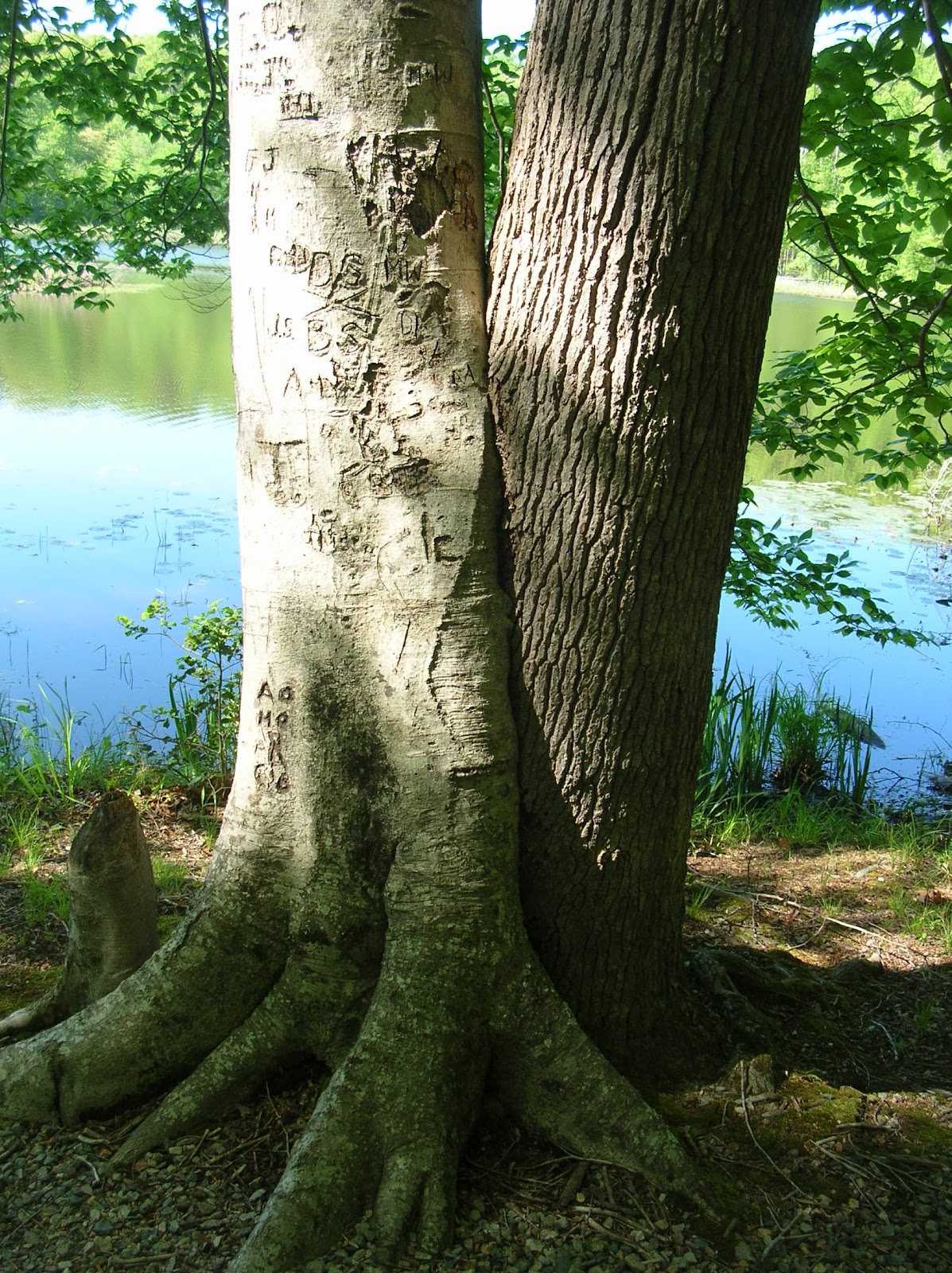
Belle Island, once an awful prisoner of war camp but now one of my favorite walks in town.

Whoever did this graffiti is a good artist, and added some color to an otherwise ugly concrete railroad support pillar:

Part of the City of Richmond rises above the Haxall Canal:

"The Headman" sculpture by Paul DiPasquale celebrates the labor of the many blacks, enslaved and free, who labored on Virginia's canals, and their importance to early Richmond's commerce. The artist also did the sculpture of Arthur Ashe (which I did not have time to walk to) and that of "
Connecticut."


You can take a little ride on the canal in a boat. One of them is named the "Maggie Walker," whose house I saw earlier in Jackson Ward.

Henry "Box" Brown was desperate enough to become free that he had someone nail him inside a small box and ship him to Philadelphia. This monument celebrates his escape. Go to
this post if you want to see how small the box is.

Main Street Amtrak Station now has trains running again:

A few years ago, the Reconciliation Monument was dedicated here. It shows two embracing figures, and commemorates Richmond's role in the trafficking of enslaved Africans, whose forced labor helped build this country.

Richmond was the second largest slave trading port in the USA, but it got plenty of help. Along with Liverpool and Benin, it formed a triangle whose three sides supported unimaginable suffering, agony, and misery. Identical monuments exist in the other two corners of that triangle.

Although we may not like to think about, we might wish to give pause and consider how prevalent slavery still is today in our world, in economic situations and in girls and young women forced to work in sexual slavery.
The Virginia Civil Rights Monument is, along with the FDR monument in Washington DC, my favorite monument. I love these words of Thurgood Marshall that are carved on the monument: "The legal system can force open doors and sometimes even knock down walls, but it cannot build bridges. That job belongs to you and me." Are we up to the job in our increasingly polarized and uncivil society?

"It was like reaching for the moon," said Barbara Johns, a schoolgirl at impoverished Moten High School in the early 1950's. But her efforts, and that of many others, ended up in the Brown vs. the Board of Education ruling that outlawed "separate but equal" in 1954. 11 years later, the Civil Rights Act passed, and Thomas Jefferson's words "all men are created equal" began to ring true 188 years after they were penned.

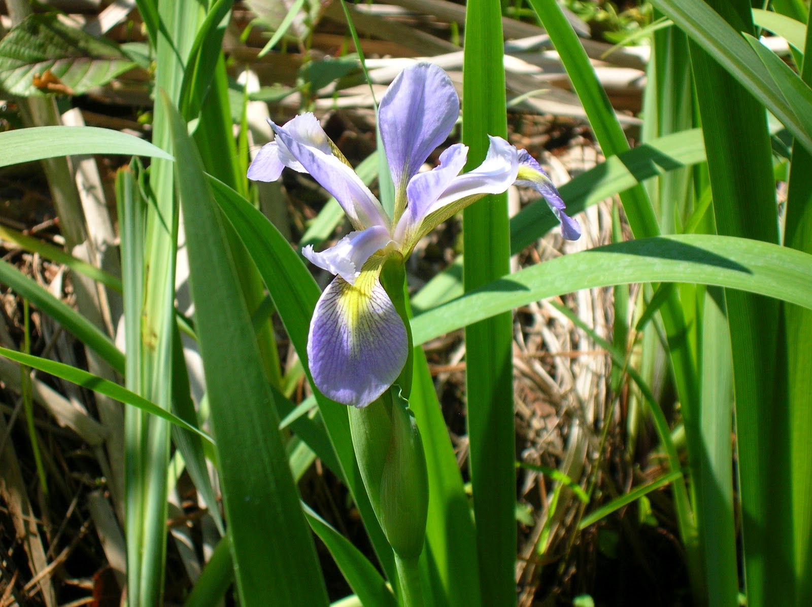
The state flower is the dogwood, shown here with old City Hall in the background:

Near the end of my walk were these gorgeous rhododendrons in Capital Square, in bloom much too early but beautiful all the same:


 This tranquil site, the Manchester Docks, is the starting point of the Richmond Slave Trail and was once a major slave export site - the busiest on the East Coast. Up to 10,000 human beings a month were shipped to other parts of the south from this spot for decades. Now, it is popular as a place to fish from.
 There were numerous placards - usually shown on my maps as yellow squares - along the way with illustrations and descriptions of enslaved life. This sketch shows how Africans were crammed into slave ships for transport to the New World. Something like one in eight people perished on the journey. I don't think the ships taking slaves from Richmond to points south were packed this tightly, but I imagine they were pretty miserable to travel in all the same.
 If not for the roar of traffic down I-95 over the bridge, you never would have known at times how close you were to a large city.
 Some of the worst outdoor advice I ever saw was "leaves of three, wipe with me." You should leave this bad boy be, and in any event, using it for toilet paper is a very, very bad idea. Poison ivy was common along this part of the trail.
 This board talked about the revolt of the "Creole," a ship that was transporting 100 slaves away from Richmond to New Orleans in 1841. 18 slaves overthrow the ship after it headed out in the open sea in international waters where they were outside of the laws of the United States. They headed to Nassau in the Bahamas, where the British government set them free. A decade later, the slave owners were awarded over $110,000 and a treaty was signed that assured that the British would not interfere in such cases again.
 In springtime, there are pretty flowers along the part of the path east of the I-95 Bridge. I wondered if the enslaved peoples heading this way towards the ships so long ago - ships that would take them far away to the large cotton plantations where life was typically more brutal than most Virginia plantations of the day - would have been able to take heart at all in any beauty along the way.
 Usually the trail east of the I-95 Bridge just had forest views, but at times, one could also see the river.
 The trail is now out of the pretty woods, but has nice river views as well those as of the downtown. The bridge is the very heavily traveled I-95 Bridge.
 This view of the trail and the river shows the flood wall as I approach the Mayo Bridge to get back to the north side.
 In this map of the northern part of the route I followed on the Slave Trail, you can see where I took the photos below:
 Mayo Island divides the James River at this point. Just upriver from this spot is the
  As the trail heads towards Shockoe Bottom, it crosses part of the Kanawha Canal. Enslaved men were once given the responsibility of navigating boats from the farms down the canal to Richmond with loads of tobacco to be sold.
 This photo is of the infamous Lumpkin Slave Jail Site, a place were slaves were held and punished - which could essentially amount to torture in some cases. There was once a large complex with several buildings owned by Robert Lumpkin here, known as "The Devil's Half Acre" among local blacks.
 The Slave Trail ends at the First African Baptist Church on Broad Street. The current building, now part of the Medical College of VCU, was built in 1876, but the original church was founded in 1841 when the white members sold their building to about 1,000 blacks. It was the center of life for Richmond's free and enslaved blacks at the time when gatherings of black people outside of churches was not permitted.
 This photograph, from Smithsonian, shows the excavation of Lumkin's Jail site. It had been buried under a dozen feet of soil, and parking lots covered some of the historic burial grounds.
 In this photograph of Antebellum Richmond, looking west, I've circled in red where Lumkin's Jail Complex was. Just a short walk away from this spot is the State Capital and, now, the
  This placard has a drawing of part of the jail site.
 Someone put some flowers at this sign about the Old Negro Burial Ground, a place where deceased slaves and poor free blacks were once buried.
 The sign at this spot asks people to show respect for this site, part of the historic Negro Burial Ground.
 This historical marker tells the story of the Execution of Gabriel, who attempted to lead a rebellion in 1800. He was betrayed by two fellow slaves, captured, and hung at this spot.


