Sunday, May 24, 2015

Cumberland Marsh Natural Area

All week, I had big plans for this past Friday.  I was going to go solo backpacking, just for one night, in a part of Shenandoah National Park that I had never hiked in.  That always feels a little adventurous!  But after my hike last Saturday to Corbin Cabin on the Nicholson Hollow Trail, the back of my left knee hurt quite a bit.  And all week, it never relented, so while I was going through my trip preparation and mapping out a route, I started having this nagging doubt about actually being up to doing the trip.  And by Wednesday, I knew that it was not a good idea. But I still had Friday off, and it still looked like a gorgeous day.  So I decided to try a much shorter, flatter hike without carrying a 35 pound pack.

I choose Cumberland Marsh Natural Area. which is less than an hours drive for me.  Maybe I would see some wildlife: a box turtle, a turkey, a deer.  Well none of those, but I found plenty of deer flies right from the start.  They swarmed all over me.  I killed two that bit me before I had hiked 100 feet and 1,000 more showed up for their funeral.  Dozens of dragonflies swarmed around me, I assume eating deer flies.  After less than a half mile of walking, I entered the forest and the deerflies were mostly gone.  I got to see them again on the hike out.  I must have killed 30 or so and been bitten at least 20 times.  And in the woods I got bitten by a deer tick, which are tiny and carry Lyme disease.  I also had 3-4 of the bigger dog ticks crawling up my pants leg.  Ticks are like my least favorite animal.  So while I enjoyed the hike, and the knee pain was okay, I would go back to Dutch Gap before I would hike back here.  It has wider and less shrubby trails, better views, and more wildlife.

I walked about 4.3  miles, enjoyed a gorgeous fall-like spring day, and communed with nature for a couple of hours.  I could have done without the ticks and the flies, though.  Here are a few photos.

My route, starting and ending at the pink arrow, and going counterclockwise for the loop section.  The natural area is on the southern bank of the Pamunkey River.

View across the wetlands from a boardwalk at the start of the hike.  The scent of honeysuckle was intoxicating!


I think that this is an iris of some kind.

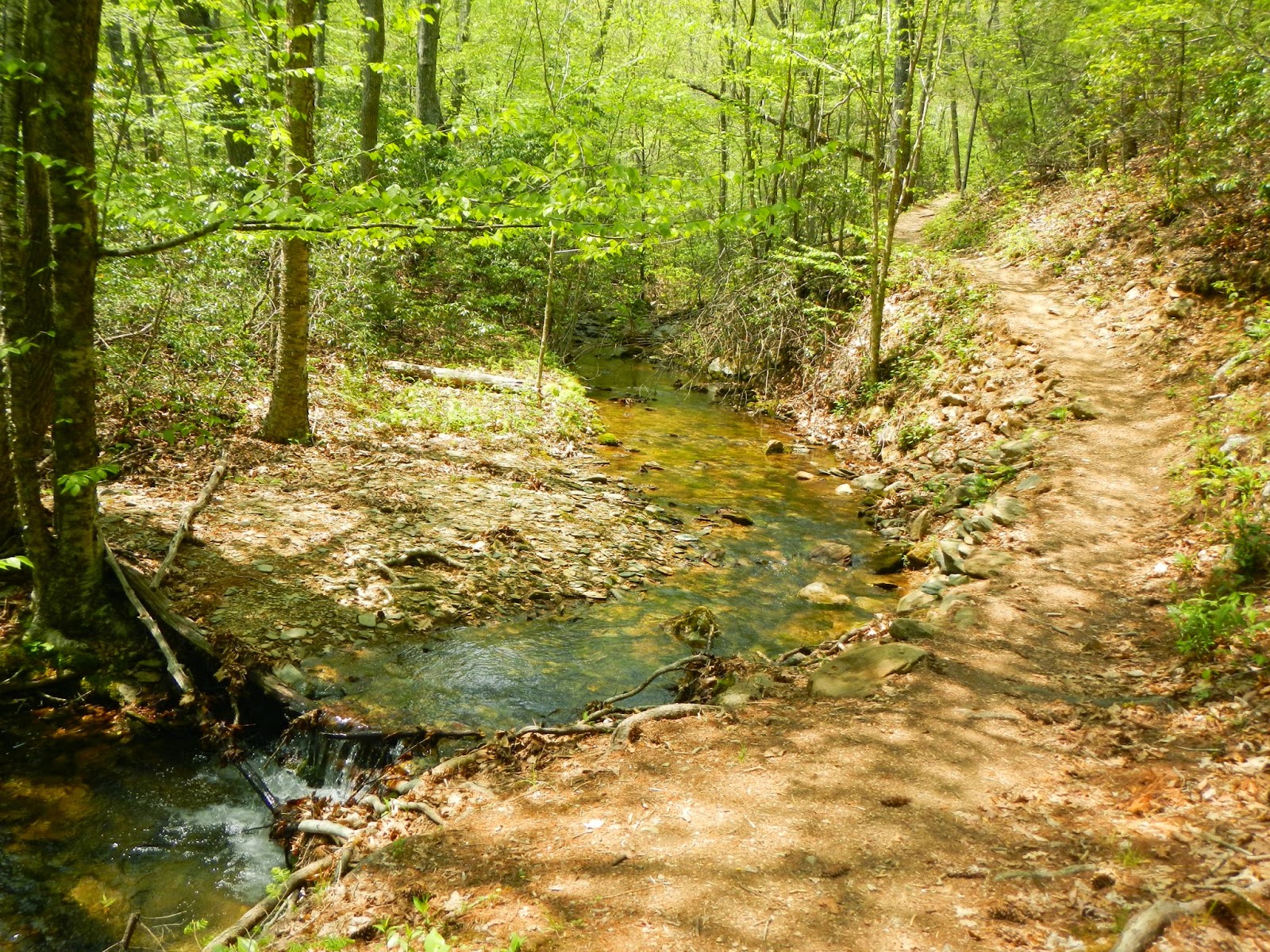
Forested trail, and ferns along the trail.


Sunday, May 17, 2015

Hike to Corbin's Cabin

Yesterday, I joined the Richmond - Charlottesville Adventurers for an out and back up Nicholson Hollow in Shenandoah National Park.  There were only four of us but we had a great time hiking together on a kind of sultry day.  There were not any grand views, but we saw a wild turkey, a black rat snake, and a garter snake, along with great forest and stream scenery.

Here is the route (about 8 miles total), parking at the incredibly popular Old Rag parking lot.  We started at the pink arrow after walking about a half mile or so from the car:


You can see that there are lots of other trails there.  The purple circle shows the Old Rag area (go here for my hike there) and the red circle shows the Robertson Mountain area (go here for my hike there).

Can you see that this is a popular destination?  Check out the parking lot about 10AM.  Fortunately, most of the hikers were going to Old Rag, one of the most popular hiking destinations in the state.


The prominent feature of this hikes was streams.  This is the Hughes River.

Does this look like an inviting spot to soak hot, tired feet?

There were at least 4 major stream crossings.  This was the only difficult one.  Two of the group are partway across here.

We didn't see many wildflowers, unlike my last two hikes.  I am not sure what these are, but I do know that they are lovely.


This lazy black rat snake was wary but not aggressive or scared.  I was within a foot of his head, I think.

Our destination was Corbin Cabin, built by George Corbin in 1909.  He was forced to vacate in 1938 when Shenandoah National Park was created.  It must have been heartbreaking for him.

Is this a sweet lunch spot or what?

Here is our merry little hiking group for the day: Art, Terry, Giselle, and Suzanne (plus two canine hikers!)

On the Corbin Cabin porch.

We saw this garter snake on the hike out.  Sharp eyed Suzanne spotted it.

This was a really fun hike, and not too hard for anyone in shape (I am not right now).  One gains about 1,200 feet on the hike up and loses the same on the return.  Figure on about 4 hours, plus a lunch break.  There are native brook trout in the river, and we saw a number of fisher folk trying their luck.

Tuesday, May 12, 2015

Torry Ridge Loop

It's always special to take a hike when most of the rest of the world is working, and that is what I did last Friday (may 8).  I had the day off, my ankle does not hurt as much, and - having been a couch potato for several months resting my ankle - it was time for a hike up in the mountains.  I choose a loop hike, the Torry Ridge Loop, for my 10.6 miles of mountain hiking.  I actually hiked on about five different trails, starting and ending at mile 18.5 on the Blue Ridge Parkway: the White Rock Gap Trail, Slacks Trail, Torry Ridge Trail, a blue blazed trail to Sherando Lake, the Sherando Lake road, and returning on the White Rock Gap Trail. Here is my track, starting and ending at the purple arrow and traveling clockwise (red arrow).  Total elevation gain and loss is about 1,700 feet.
 
Last year, I hiked part (all but Torry Ridge and the trails leading to and from it) of this on my hike of  the White Rock Falls area.
 
It was a beautiful spring day, although a bit warm.  I only saw a few small animals - a wood thrush and a rufous-sided towhee, an unidentified lizard, a toad, a water snake, and a gray squirrel.  But I saw many incredible wildflowers.  I will put photos of them in a future post.
 
Here are some photos of my joyous Friday hiking.  I was really tired when I got back to the car, although this is not an extremely hard hike.  I am just out of shape.  But I did it!
 
Small American (?) toad seen on the trail.

This is typical of the trails in this area - along the Torry Ridge Trail.

Pink Azalea was in bloom all over the place - so lovely!
I checked but didn't see anything living in this dead tree.

Mostly this hike was a "green tunnel" but now and then, I got a decent view.

From Overlook Rock, I had a partial view of Lower Sherando Lake.

And this is Lower Sherando Lake from a different perspective.

Just a harmless water snake along the trail.  It dove into the stream when I got a little too close to try to get a better photo.

This is where I saw the snake, less than 2 miles from my car on the hike out.

No, this is not part of the hike.  It's a visitor center on the Blue Ridge Parkway on the drive to the trailhead.