I've not had time to hike in over a month - just too much going on. So when I had a last minute chance to go today, even though it was solo, I jumped at the chance. You could not have asked for a nicer winter day. I was hiking without a jacket most of the 7.6 miles.
For my hike, I chose Powhatan State Park, about a 30 mile drive from my house. It is a new addition to Virginia's great state park system, and I had never been. I really enjoyed it. While not spectacular, the trails are broad, easy to follow, and mostly level. I saw at least 20 other walkers, many of them with dogs or children.
Here is a map of my track. I started and ended at the red circle, and I went more or less counter-clockwise, in the direction of the orange arrows. The red arrow shows the direction of the James River as it heads inexorably to the Chesapeake Bay.
I hiked on at least four different trails to cobble together my route. My first trail was the cabin trail, and it featured the bones of a long-gone cabin. I wonder what the family that lived here experienced? If you look at the map above, there are two little blue rectangles on the right hand side. This cabin is located at the more southerly one.
This shows the trail marker for the well-named Pine Trail, the second part of my hike.
Most of the hiking was in a forest, but a mile or so covered some very open country.
I didn't see much wildlife, but most of what I saw occurred right here. I saw several dozen small birds flitting around in the undergrowth.
I think this is a red-backed salamander.
This part of the trail is heading towards the river.
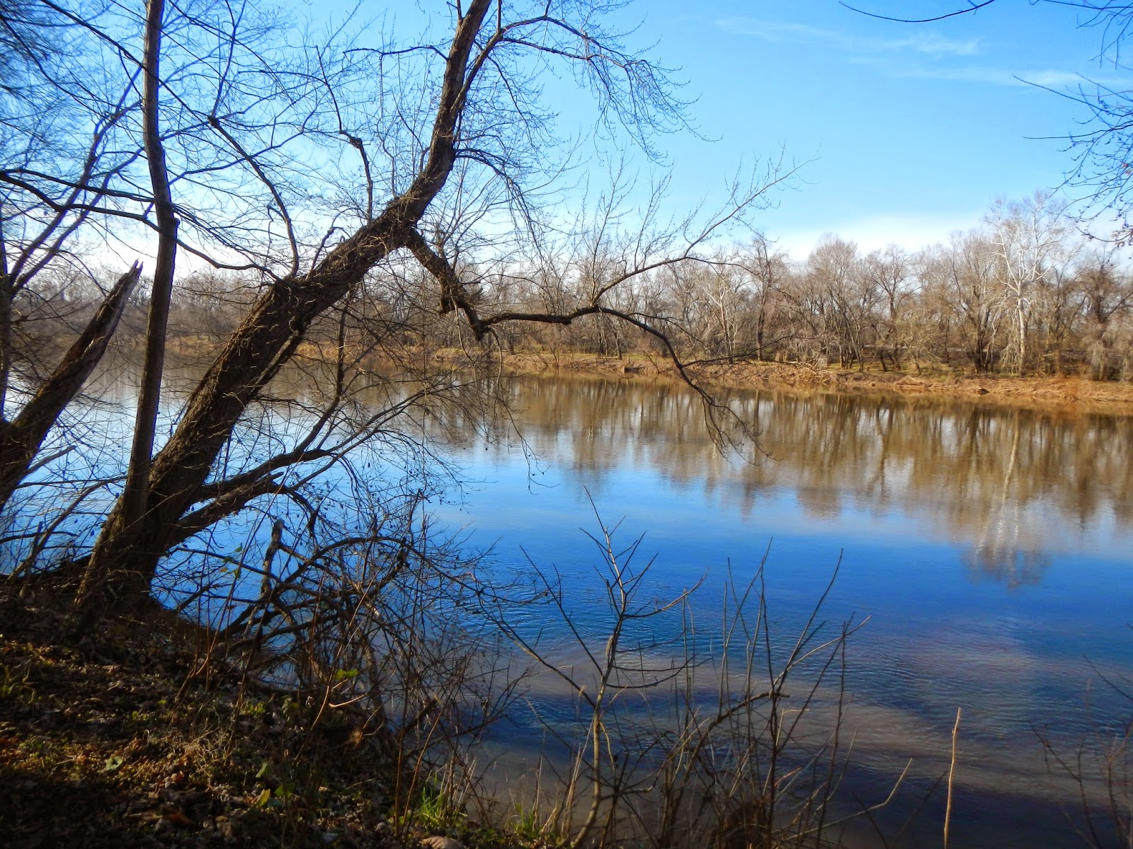
The James River is wide and deceptively powerful at this point.
I enjoyed getting out for one final hike in 2014, especially on such a gorgeous day. This hike put my trail miles for the year for about 195, more than 100 higher than last year.