The last weekend of September, a friend and I had made plans to return to
Shackleford Banks for three days of backpacking, birding, and shelling. But he had to cancel at the last moment, and while I considered going by myself, it just didn't feel that appealing. Luckily, a "Plan B" appeared: three days of backpacking in the Mount Rogers - Grayson Highlands area of Southwestern Virginia with Virginia Backpackers.
The trip was full, but I joined the wait list and got added when others dropped out. Six of us ended up going, and I must say, a great time was had by all. We had three days of sunny fall weather - warm days near 70 degrees F. and cool nights down to about the freezing point.
It's a long drive - over 300 miles - to get to the trailhead from Richmond. The red star marks the location of the hike.
Here is a track of the hike, which was about 15 miles. We started and ended at the red arrow at the bottom, and generally went in a clockwise direction as indicated by the blue arrows. We camped Friday night up on the ridge at about 5,300 feet. Some of the group hiked to the heavily forested summit of Virginia's highest peak, but I just went to the spring to get water. The second night, we hiked 7.5 miles to our camping spot near the Wise Shelter on the Appalachian Trail, indicated by the blue star.
Here is our merry band of six at the start of the hike Friday afternoon.
With the long drive to and fro, we only had a few hours to hike Friday and Sunday, so Saturday was the bulk of the hiking. We went at a moderate pace, not too fast, not too slow. I last backpacked here five years ago this month and it felt great to be here again - and I'll be back. This was my first hike with this Meet-up Group. I'll be back!
As I said, the weather was about perfect, and the company was good as well. All six of us like to hike and backpack, and we traded stories of trips past, and possibly future, as well as some gear recommendations. We saw little wildlife, but I did hear northern critters like red squirrels, red-breasted nuthatches, and black capped chickadees, and we did see the wild ponies for which this area is known far and wide.
We also had long-horned steers munching around our second campsite, but these huge animals stayed far away from us. And we had the great scenery of Virginia's high mountain country. These are the highest eastern mountains north of the Smokies and south of the Whites.
Here are a few photos of some of the group on Friday - June and John:
Moving through "Fat Man's Squeeze" on the AT:
Yours truly on the trail:
Mount Rogers, in the distance, is covered in spruce. It is more like Canada than the rest of Virginia. It is about 5,600 feet higher than Richmond in elevation.
Most of the hike in was open, but now and then, we got to trek through some northerly forests.
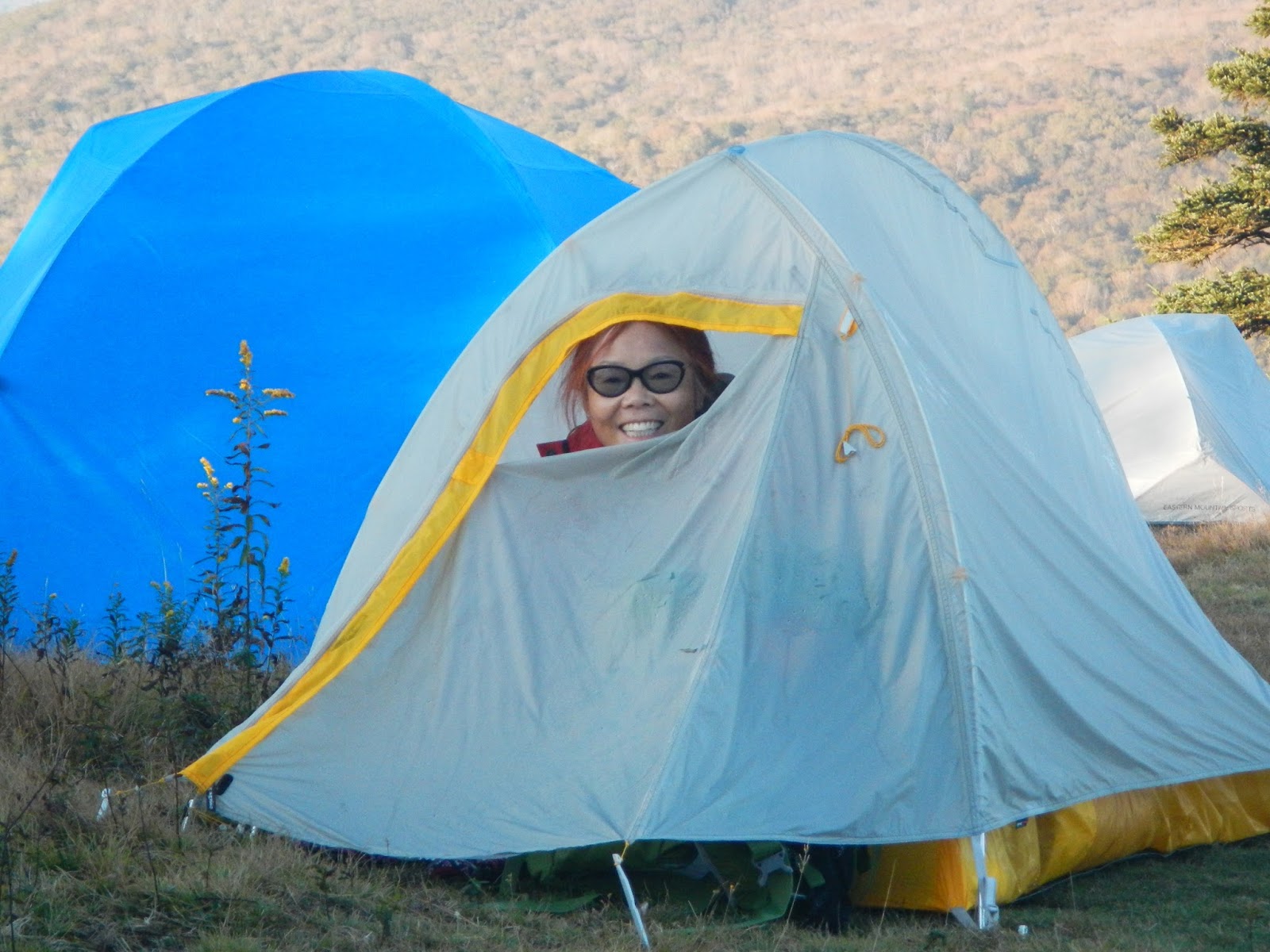
We got to our camping area, a high elevation open plateau with great views to the south and southwest, about 4:00, and got camp set up. I brought my one man tent, because with a big group, I knew I might have limited space to set it up.
Then, three of the crew hiked to the top of Mount Rogers and its spruce-covered summit. I collected water - a half mile walk each way and 30 minutes to collect and filter the water from the slowly running spring near Thomas Knob shelter - and walked back to camp. We made our dinners, chatted for a while, looked at the stars - nice despite a bright moon that was about 70% of full - and hit the sack. In the morning, I was up early to catch the sunrise behind the mountains near us.
Soon enough, the others started getting up. Good morning, June!
Breakfast time! Note the little chairs that the two on the left are in? The are called Cripple Creek. I definitely plan on getting one. They weigh about 1.5 pounds, but will save you hours of standing in camp because usually, there is nothing to sit in at camp when one backpacks.
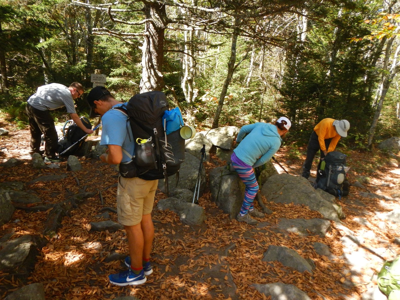
We hit the trail, heading more or less to the east for the start towards the AT at Big Pine Mountain. I thought that this huge rock jutting out was pretty neat.
We took a "packs off" break at Big Pine Mountain, elevation 5,000 feet, then headed towards the Scales for a lunch break.
The Scales is an interesting place. There are a lot of these long-horned cattle there. I remember this place from when Hawkeye and I backpacked here five years ago. That trip and this one were two of my most fun backpacking trips ever. Some of these large cattle also roamed around where we camped later this night. We could even hear them calling to each other as it got dark.
A lot of the hike Saturday passed through the open country that this area is known for, with its sweeping vistas.
Here, we have reached one of the many cattle and pony gates throughout the area. They make it more difficult for stock animals to get into areas where the Forest Service doesn't want them to go.
When I was here, 9/29 - 10/1, the trees were just starting to change.
Saturday night, we camped near Wise Shelter on the AT. It was a great camping spot. There was a creek to get water from (and lull you to sleep),
a lot of tent sites over the mostly open area,
and firewood (if one scrounged around enough) and a fire pit for a great campfire.
It got to below freezing but I slept like a log in my cozy new sleeping bag (which I love), only waking once when a group of coyotes began howling about 1AM.
One of the group slept in the Wise Shelter, which was about 300 meters up the trail. Unlike a lot of the AT shelters that I've seen, this one was just steps from the trail. A few of us waited here for the rest of the group before we started hiking in earnest.
The privy for the shelter is also just meters from the trail. Not much privacy here, is there?
There is actually a private association that manages the ponies here!
Our short (3 miles) hike out was mostly through forest,
but we did climb up Wilburn Ridge where I got a nice shot of the rest of my group. Do we look happy? That's because we are! Great group, and great trip. Thanks to our leaders, George and Sandra, for organizing it!
Shortly before we finished, we came upon a final two ponies grazing in the forest.
I would have loved to go back to Shackleford Banks, but one can't beat a trip to the Mount Rogers area. It was a fabulous three days of great hiking, with good companionship to boot. Plus ponies! I do believe that I shall come back here in June to catch the rhododendrons in bloom.