Hungry Mother SP is about 50 miles from Tennessee by I-81 near Marion, VA. On a clear day, one would have a view of Mount Rogers, indicated with a red star, from a high point such as Molly's Knob. This is where I backpacked a month ago. The map below shows the location of Hungry Mother with the light blue triangle.
Long ago, a woman named Molly Marley and her little daughter escaped from their Indian captors in the wilderness of this part of Virginia. They wandered through the forest with only a few berries to eat until Molly collapsed. The child continued, found a creek, and eventually reached a settler's cabin. The only words she could say were "Hungry. Mother." A search party found Molly, but she had died. She had wandered over much of the land which is now the park. In the 1930's, the Civilian Conservation Corps built trails and cabins here, and dammed the creek to form the lake.
My hike was a beautiful seven mile loop, starting and ending at the red star, and traveling clockwise. I hiked on four separate and well marked trails: Molly's Knob, Molly's Knob Vista, CCC, and Lake. The purple / yellow star marks the summit of Molly's Knob.
Last weekend in Vermont, I had missed the foliage, but I hit it here. Colors were at their peak, except for higher up on the mountains. It was spectacular. The hike itself involves a fair amount of climbing and descending. Molly's Knob is over 3,200 feet, and the hike included over 1,700 feet of elevation gain and loss. It is rarely super steep, but I knew that I was getting a great workout!
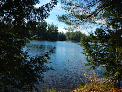
At the start of the hike, there is a view over the lake. The park headquarters are directly across the lake, and there is a swimming beach towards the right.
After about 0.8 miles, I got my first view of Molly's Knob looming above. It looked like a long ways up there. I think it was well over 1,000 feet of climbing from the parking area to the top.
As I hiked along, I stopped over and over to admire, and to photograph, the wonderful fall colors.
The trail continued to climb up, up, up.
Once or twice, I got some partial views but mostly I was in the woods.
When I reached the Vista Trail, I knew I had only 0.4 miles to the top of the knob, along with about 350 more feet of climbing. I stopped to talk with two park rangers. They had been told of a large tree down across the trail, and had driven their four-wheelers up to clear it. The final 0.3 miles had to be on foot, as the trail was too narrow and steep to ride up. Glad that they were out there doing a good job.
From the summit of Molly's Knob, 3,270 feet, there are great views to the south and east.
Eventually, the trail reached the lake, and for the last couple of miles, it wove in and out of the lake shore and the forest.


