
Next Post: Life in the AMC Huts
Our last day in the White Mountains dawned. I woke early, even though I had slept well, and sat out on the porch for a while watching dawn break over the mountains. After one last great breakfast, and a particularly good morning skit by the Croo, we packed up and hit the trail. Here is the track. Mount Madison is only about a half mile past the hut, and is marked with a red star.


Mount Madison looms behind the Madison Springs AMC Hut.

Up, up, up! Chris and Josh lead the way up Mount Madison.

Josh on the hike up the mountain. Unfortunately, he realized almost at the top that he had left his rain gear at the hut. He returned for them, climbed back up, and still passed me soon afterwards on one of the steep and rocky downhill sections.

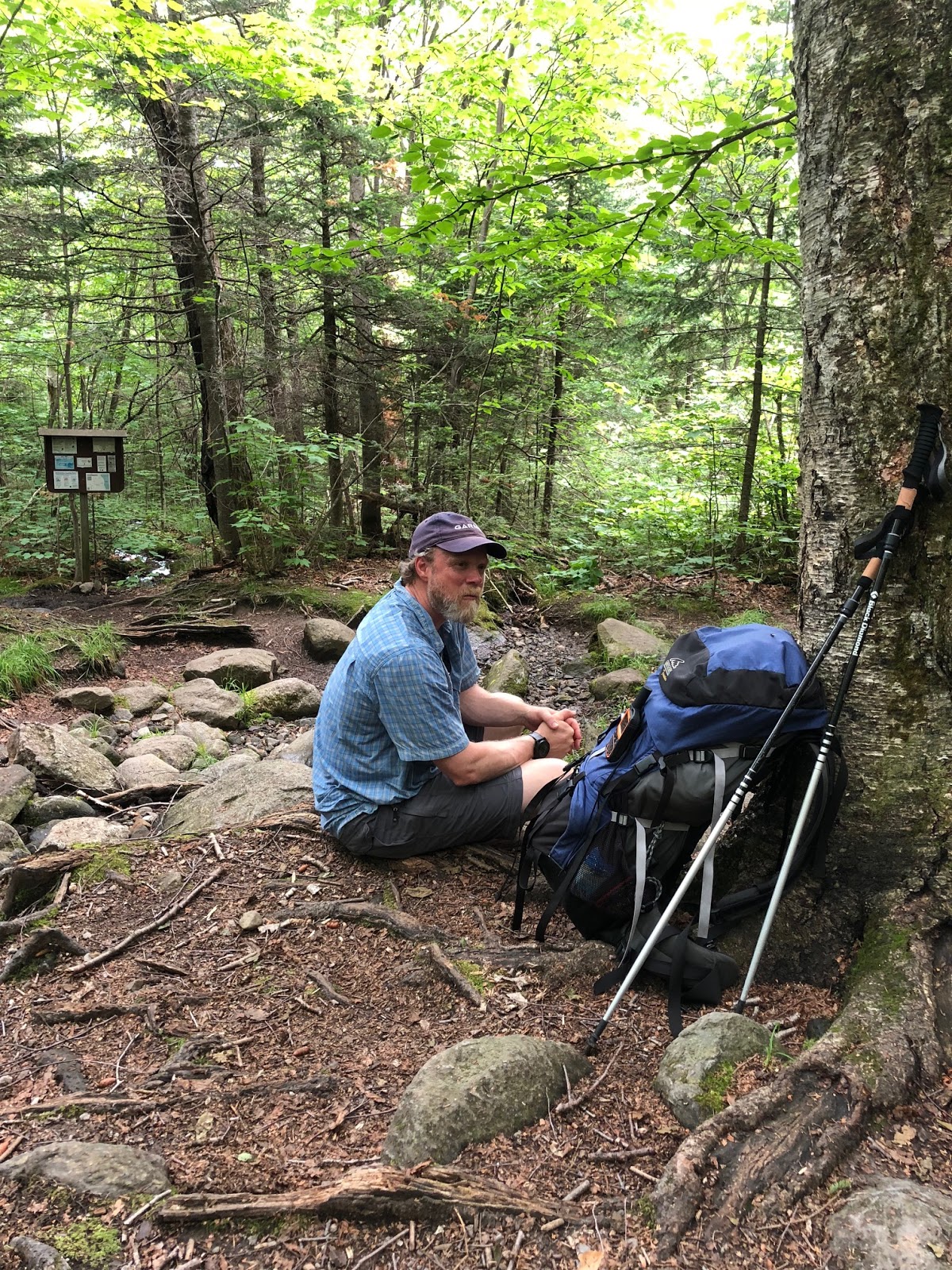
Chip on the hike up Mount Madison.

I made it to the summit of Mount Madison!

This was a Saturday morning (June 30), and there were lots of folks hiking up to Mount Madison.

The weather was clear, and we had great views of the various mountains.


It was the only really warm day of the week - temperature in the high 80's once we got low enough - so I was wearing shorts for much of the hike down.

By this point, we have descended a long way from the summit of Madison (peak in the back), but....

.... this is what lies ahead: a steep rocky descent, a more or less level rocky trail, and then another steep descent right off the edge of the mountain, dropping down into spruce - fir forests.

One great thing about this hike was that after we got well down in the Northern hardwoods forest, there were a lot of streams, so I could get water as needed and not have to carry 3 liters (about 6.6 pounds) like I did the other days. We took a short lunch break here, and caught up with Chris at another stream where he has paused to soak a bit.
Most of the streams were easily rock-hopped. We must have crossed 8 streams.

But this one major one required a bridge.


After one last tough uphill section, and a steep downhill section to follow, we reached a very pleasant trail for the last two miles where we could just walk, losing about 500 feet a mile, until we got to Pinkham Notch and the car. We paid to take showers and changed into clean clothing, then started the long drive home. It had been a great, and mostly fun, adventure in the outdoors.

Here are what my feet and ankles looked like at the end of the trip. In fact, my spouse told me that the photo does not do it justice! All the way down on Saturday, my left foot hurt a great deal with each step on a rock, like it was bruised. It guess it was just so swollen that it was getting compressed in my boot!

Well, that's my big adventure to New Hampshire's White Mountains. I'll be writing an account of life in the huts, and also probably one on some lessons learned.


I like that foot bridge. Oh my your feet look so sore.
ReplyDeleteI am glad I did this hike, but by the end, I was really happy to be finished. I could barely fit my feet into my shoes. It felt great to be home!
Delete