It is amazing to think that hundreds of years ago, this type of old growth forest would have covered thousands of square miles of this part of the world. Some of these trees are estimated to be 1,000 years old. They were gigantic when the Declaration of Independence was being signed.
In this case, pictures will do better than my words in describing the area, so here are a series of photos of the walk in, the river, the suspension bridge, and the Grove of the Patriarchs. After this point, I gave my emergency matches to someone, repacked my stuff, got out clean clothes to change into for the flight home, and started driving to the Seattle area. It was a great 2.5 days of hiking here, and of seeing Nature’s beauty in a new place.


 At this point, the trail continued for almost a mile along the river to connect with the Grove of the Patriarchs nature trail. I was so tempted to keep on hiking, but my late start and other hikes meant that I had barely enough time to finish this hike, drive to the Patriarchs trail, hike it quickly, and start heading for the car return facility near the Seattle airport. I had calculated needing to leave by 5:30 at the absolute latest to have a margin of error to get to the airport in time. So I reluctantly headed back along the return loop to the south, rather than the connector trail to the north. Oh, for just one more hour to hike here! I know from the guide description that it would have been beautiful! My return along the forested trail was in solitude. I encountered no one, and no wildlife, on the hike through the lovely forest.


 I consulted my maps and hiking book, and found that it was Martha Falls, and that there was a very short and steep section of the Wonderland Trail that led right to the falls. It looked to be about a half mile hike each way, and maybe a loss of 500 feet elevation in that half mile. I had to see such a pretty spot close up, and so I turned the car around and drove back whence I came looking for the trail junction. When I found it, I put on my pack and headed down the trail.


 chatted with a couple of guys who had hiked up to the falls the long way from near the Box Canyon, and then started the trudge uphill back to my car. The hike back up was more arduous than my hike down, as one would expect. But it was short and through scenic woods and with some occasional views, and passed quickly.


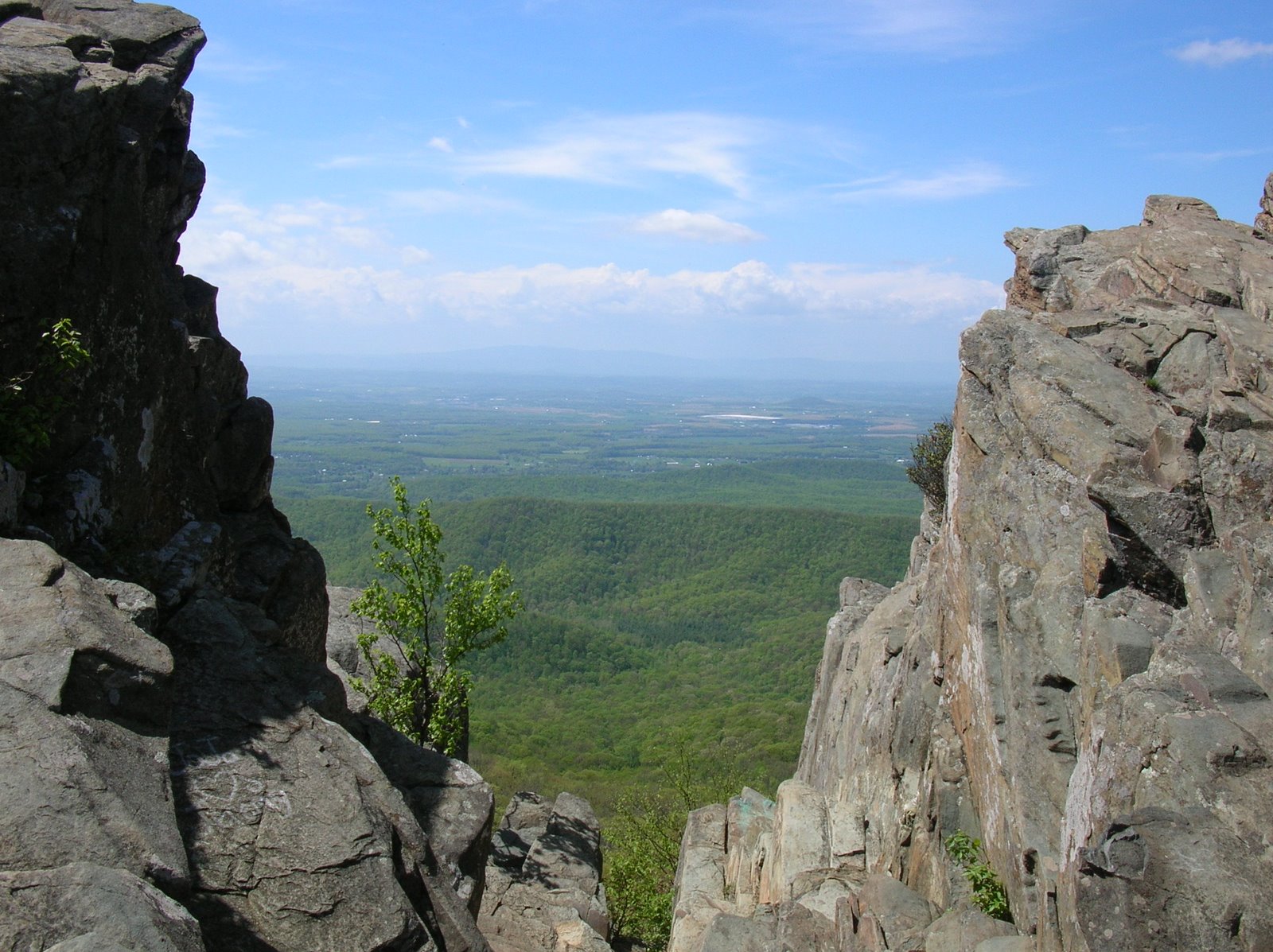
 I came to a shear drop off overlooking a tiny pond at the lower end of Bench Lake. There were great views from the overlook and I snapped a number of photos and sent a SPOT check in, while watching my footing. It was a long way down to a very hard landing.


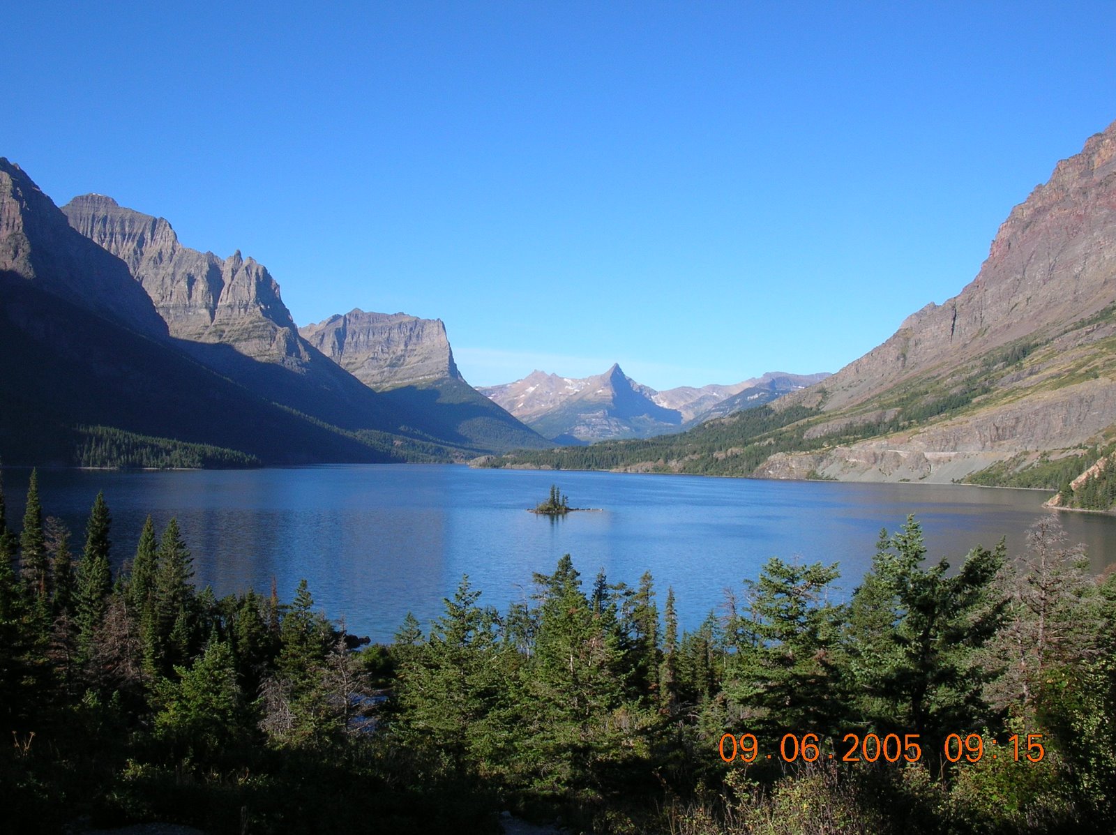
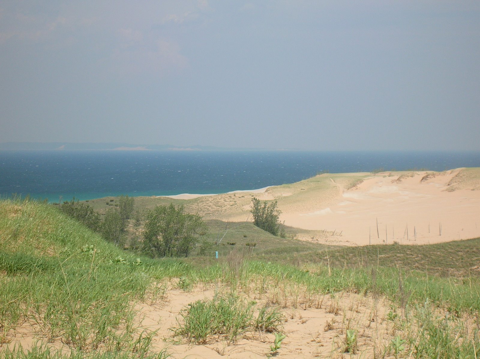
 It was like nothing I remember seeing since something similar in Waterton National Park in Alberta. There was also some very beautiful scenery and pretty flowers in the vacinity,


 The forest was beautiful along the way, and Nichol Creek was a lovely creek that was crossed on a split log bridge.