Friday, July 13, 2018

White Mountain Traverse: Lessons Learned

Prior Post: Life at the AMC Huts

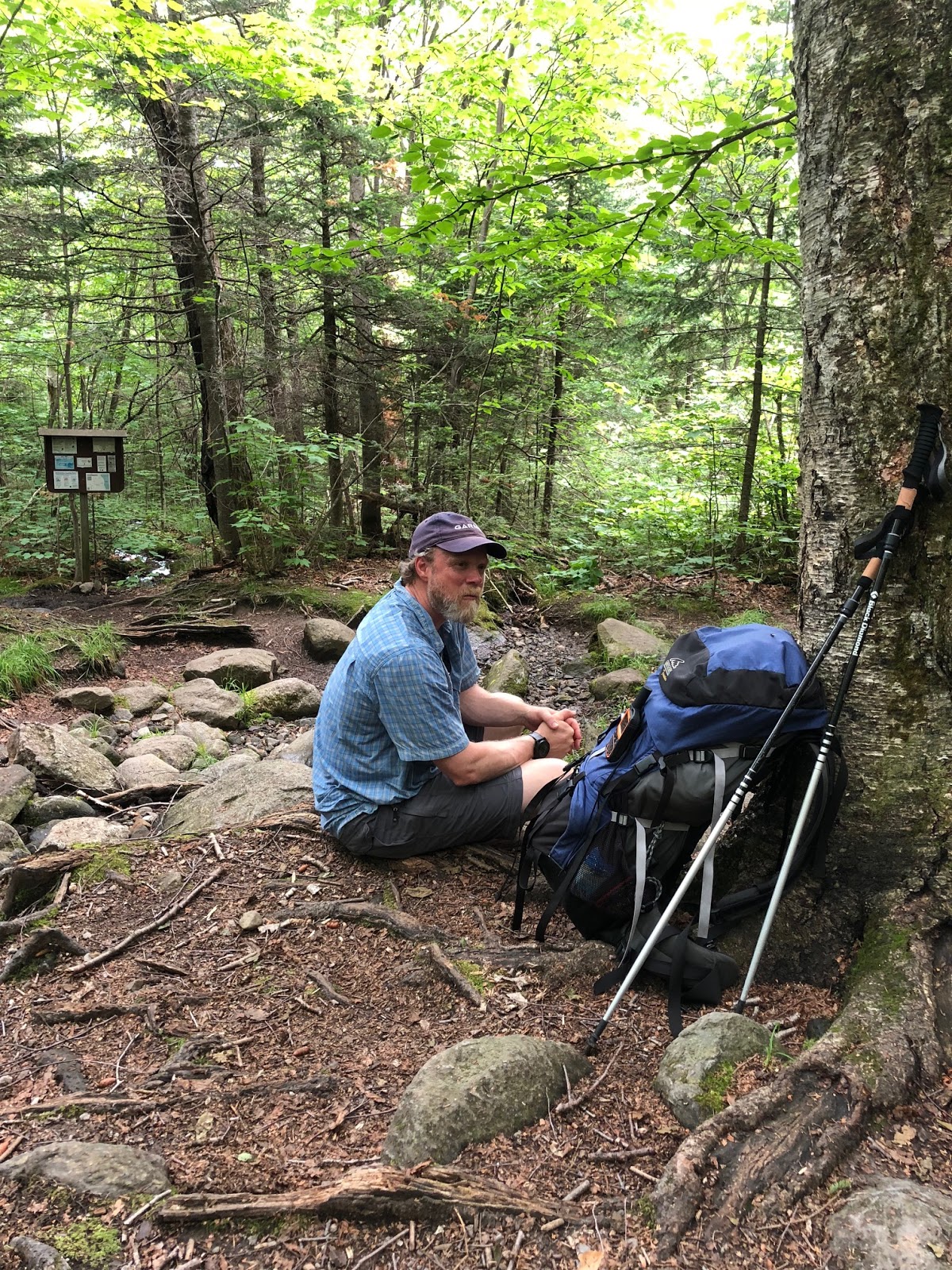
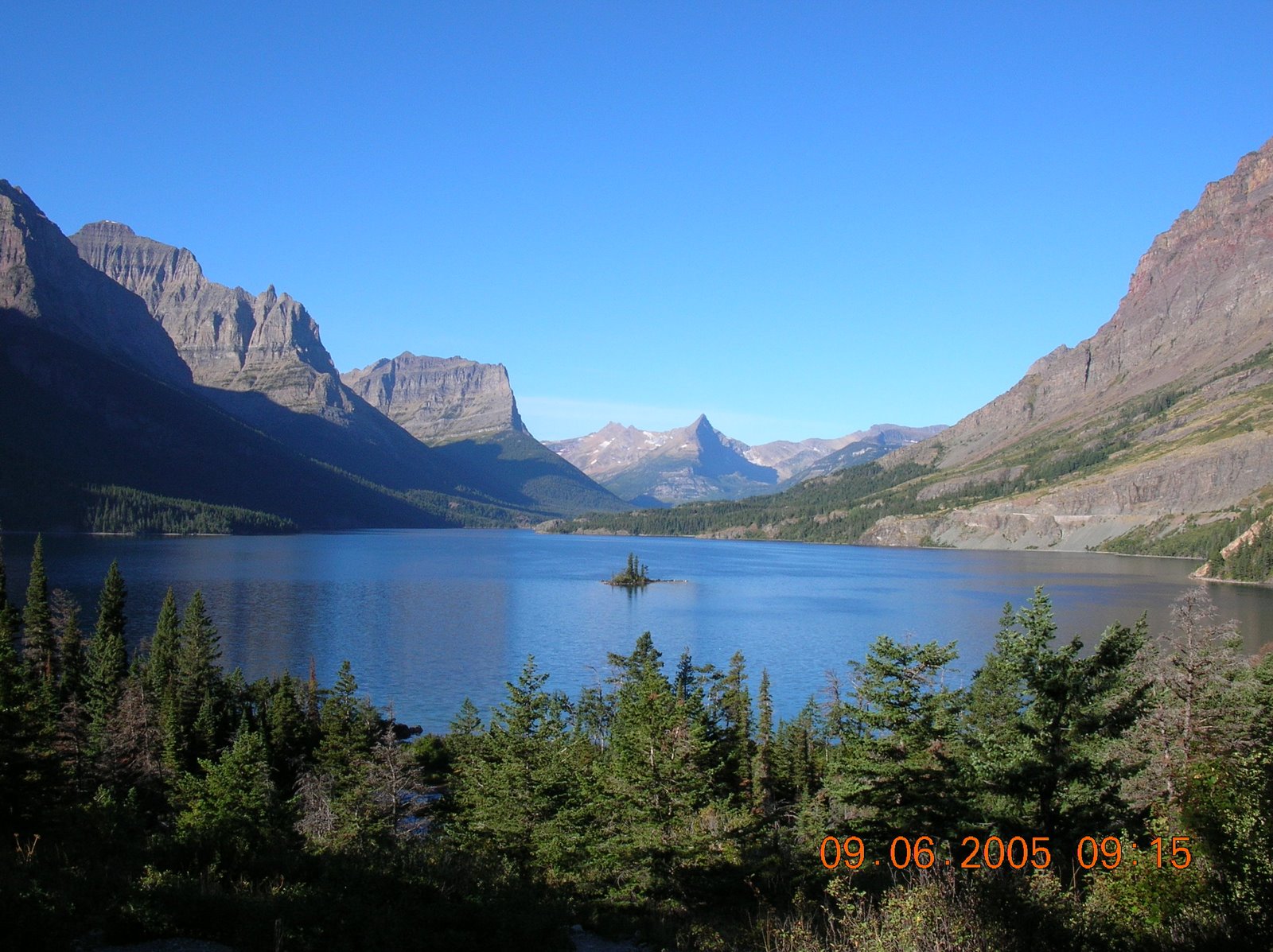
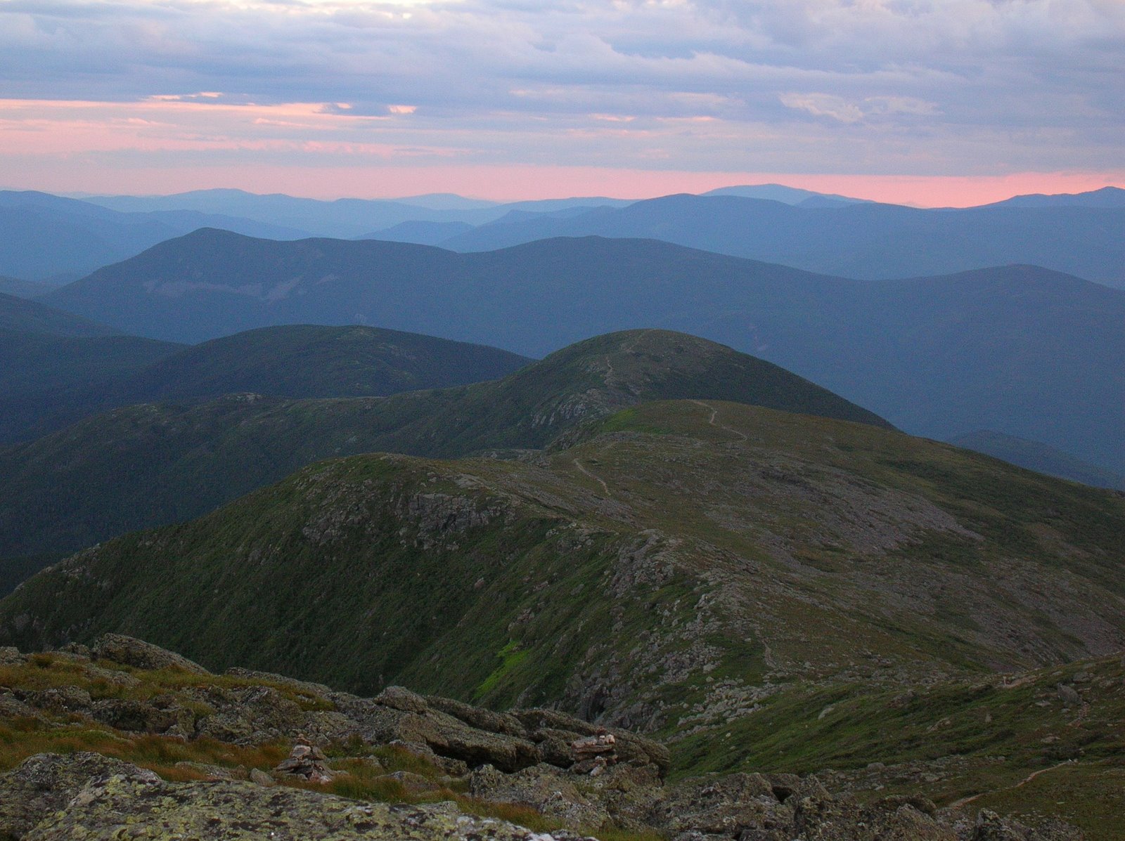
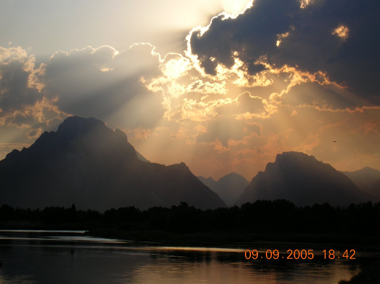
After hiking about 47 miles across the White Mountains, I suppose that I learned a thing or two.  If any of my hiking companions happen to see this, maybe they can add comments with some of their thoughts.

1. Toughness of the Trails: I'd hiked in northern New England many times in the past, but I'd forgotten how tough the trails are.  I would look at the topo maps and see lots of ups and downs.  But what I didn't understand was the extreme steepness of many parts of the trails, and the fact that most of the trail was littered with large rocks and boulders.  So when planning a hike of say, eight miles, I would assume that we could do it in about six hours.  In most cases, I was averaging about a mile an hour, or even less.  We had much longer days on our feet while we hiked these trails.  Someone in better shape and younger than me could do it faster, but I should have realized how tough it would be.

2.  Conditioning.  Being able to hike a tough trail is based on age and conditioning.  I can't do anything about my age, but I should have done more on conditioning.  I was walking a lot, and I was climbing stairs at work until I retired.  After retirement, I did some backpacking and day hikes with an extra heavy pack.  I also hiked 70 miles in Pennsylvania, and I assumed that would prepare me fully, but it didn't.  To fully prepare, I should have done more tough hikes.  An example: load a backpack fully and hike up Old Rag.  Turn around at the summit and hike back down the rocky part.  Turn around and hike to the summit.  Repeat several times.  Or, load a backpack and hike up a really steep trail, like the the AT up the Priest from Tie River.  It wouldn't duplicate the rockiness, but the grade is extreme.  And in the gym, tons of squats, lunges, and step-ups, and walk with a heavy pack on a treadmill with as steep an incline as possible, or on an elliptical machine.  For an old guy, I am in decent shape, but in the White Mountains, decent isn't good enough.  Mother Nature gives no one a pass.  The youngest guy on the hike, who was 29, did much less hiking to prepare than I did, but was able to hike more quickly and easily than me.  He was very fit, but there is also no substitute for youth.

3.  Be more mindful of lightening.  We knew a storm was in the area, but couldn't fully see the sky because of mountains.  When we learned a storm was upon us, we were lucky to get to a sheltered area.  We should have been more alert and mindful.

4.  Watch pack weight.  I was satisfied carrying extra clothing, because when I got soaked, being able to change into dry clothing was worth the weight.  But I did carry too much food, about five pounds for the week.  As it turned out, I bought lunch twice, and other times, I could have bought food for lunch at the little store the day of each hike, and maybe have carried only a pound or so of food.  As far as water, there was one day I could have carried a little less on the second day because we crossed a stream with about two hours to go, but generally, I carried the right amount.

5. Watch my feet.  By the end of the hike, my feet and ankles were badly swollen.  I should have soaked them when possible, but there probably was not much I could have done.  Maybe some additional stretching would have helped.  But it's clear that I bit off more than my feet would have wanted.

6. In the future, if I hike in this area, stay two or more nights in the same hut, and do less miles.  That would give the option for day hikes and peak bagging with a smaller pack, or even a zero mile day if my feet were getting battered or the weather was bad.

7. Watch the glasses.  When my glasses fogged over in rain and clouds, I was effectively blind.  I need to come up with a way to be able to see.


White Mountains: Life in the AMC Huts

Prior Post - Madison Springs to Pinkham Notch (final day of the hike)
Next Post - Some lessons learned

Beyond describing my hike, I wanted to write a short post about the AMC Huts.  They are an amazing deal because you don't have to carry a tent, sleeping bag, sleeping pad, cooking gear, or a lot of food - just enough for some snacks and a trail lunch each day.  Plus you have a ready water source - not always easy to find in the mountains - and a dry bunk.


The AMC operates eight high-mountain huts, and we stayed at six of the eight.  They all have bunk rooms, separate men's and women's bath rooms, a kitchen for the Croo, and a dining room.  They also have separate quarters for the Croo.  One of them, Mizpah Springs, has a separate library, but all of them have a well-stocked book shelf and a box of games.  Some of them also have great telescopes.  The bathrooms have composting toilets and cold-water sinks.  They supply toilet paper, soap for the sinks, and antiseptic hand wash, but no paper towels - no napkins at dinner either.  Everything in there has to be packed in or out, except for the propane cylinders for cooking.  You will often see the Croo members hiking up steep slopes with huge packs.  They are all in great shape.

Your stay at a hut includes dinner and breakfast.  If you get there early enough around lunch time, you can buy hot soup and various baked goods.  You also get a bunk, first come, first served.  Some of the bunks are easy to get into, and others, you almost need to be a contortionist.  The wool blankets often smell of sweaty hikers, so it is a good idea to bring a sheet of some kind, and a pillow case.  There is no heating system in the huts, but there are electric lights for most of the day (not in the bunk rooms, which can be quite dark.)  Energy usage is a fraction of a typical home.

When you reach a hut after your hike, you check-in with the Croo, and are given a bunk room.  You go to that room - these are co-ed - and claim an unused bunk by putting some gear in it.  Each bunk also has a small reading light.  You are free to relax until dinner, which is served at 6PM family style.  They always have great fresh baked bread and a delicious soup and salad.  The main course consists of meat or pasta, and one or two vegetables, and is followed by desert.  They can accommodate vegetarians, but need to know in advance.  Near the end of dinner, each Croo member tells the group something about themselves, usually in an entertaining way.  After dinner, people play games, chat, read, or attend the naturalist program that one of the Croo puts on.  At 9:30, the lights are shut off, and it is quiet hour (except for snoring!)

They do a musical wake-up at 6:30, and breakfast is at 7AM.  Breakfast always starts with oatmeal, and they usually also have scrambled eggs.  Other than that, there is usually pancakes or some other baked goods, and sausage or bacon.  Near the end of breakfast, the Croo members put on a skit that is often quite entertaining.  They want to get across three points: (1) carry out all your trash, don't leave it for someone else (2) fold your blankets, once lengthwise and twice width-wise and (3) tip the Croo!  I am not sure what a good tip is.  One of the AMC staff told me a couple of bucks was fair.  The Croo is paid, but two bucks seemed cheap.  I usually tipped $10, but gave them $15 a couple of times for extra good service, such as when they found me an ice pack for my injured arm or the second day of the hike, or when they allowed us to switch our bunk room at Lakes of the Clouds.

After breakfast, everyone gets packed up and fills their water bladders.  Not having to filter water is great!  Some people buy things in the amazingly well stocked tiny store that each hut has - all kinds of stuff is for sale, things a hiker may have forgotten to bring.  Then, everyone hits the trails for the days, the Croo members have their breakfast, and then the chef starts baking bread for dinner.  Some of the others may have some time off and will go for a hike - so much faster than me!!!  They are nice young people, are incredibly fit, and work their butts off.

Well, that is life in the AMC huts.  I highly recommend them to anyone who likes to hike.

Thursday, July 12, 2018

White Mountains: Madison Springs to Pinkham Notch

Prior Day: Lakes of the Clouds to Madison Springs
Next Post: Life in the AMC Huts

Our last day in the White Mountains dawned.  I woke early, even though I had slept well, and sat out on the porch for a while watching dawn break over the mountains.  After one last great breakfast, and a particularly good morning skit by the Croo, we packed up and hit the trail.  Here is the track.  Mount Madison is only about a half mile past the hut, and is marked with a red star.


 Here is the elevation profile.  It is not quite accurate.  On the 7+ mile hike out, we had an immediate 600 foot climb in a half mile, and about 2.5 miles from the end, we had another tiring 500 foot climb over a ridge.  Neither of these are really shown here.  But you can get the idea that most of this hike was downhill, and most of it was very steep.  In fact, the first two miles took me about four hours.  On level ground, I can walk four miles in an hour with little effort.  On the hike out, we climbed about 1,600 feet and descended 4,200.  If going downhill sounds easy, trust me - it's not!

Mount Madison looms behind the Madison Springs AMC Hut.

Up, up, up!  Chris and Josh lead the way up Mount Madison.

Josh on the hike up the mountain.  Unfortunately, he realized almost at the top that he had left his rain gear at the hut.  He returned for them, climbed back up, and still passed me soon afterwards on one of the steep and rocky downhill sections.

Chip on the hike up Mount Madison.

I made it to the summit of Mount Madison!

This was a Saturday morning (June 30), and there were lots of folks hiking up to Mount Madison.

The weather was clear, and we had great views of the various mountains.


It was the only really warm day of the week - temperature in the high 80's once we got low enough - so I was wearing shorts for much of the hike down.


By this point, we have descended a long way from the summit of Madison (peak in the back), but....

.... this is what lies ahead: a steep rocky descent, a more or less level rocky trail, and then another steep descent right off the edge of the mountain, dropping down into spruce - fir forests.

One great thing about this hike was that after we got well down in the Northern hardwoods forest, there were a lot of streams, so I could get water as needed and not have to carry 3 liters (about 6.6 pounds) like I did the other days.  We took a short lunch break here, and caught up with Chris at another stream where he has paused to soak a bit.

Most of the streams were easily rock-hopped.  We must have crossed 8 streams.

But this one major one required a bridge.


After one last tough uphill section, and a steep downhill section to follow, we reached a very pleasant trail for the last two miles where we could just walk, losing about 500 feet a mile, until we got to Pinkham Notch and the car.  We paid to take showers and changed into clean clothing, then started the long drive home.  It had been a great, and mostly fun, adventure in the outdoors.

Here are what my feet and ankles looked like at the end of the trip.  In fact, my spouse told me that the photo does not do it justice!  All the way down on Saturday, my left foot hurt a great deal with each step on a rock, like it was bruised.  It guess it was just so swollen that it was getting compressed in my boot!

Well, that's my big adventure to New Hampshire's White Mountains.  I'll be writing an account of life in the huts, and also probably one on some lessons learned.

Wednesday, July 11, 2018

White Mountains: From Lakes of the Clouds to Madison Springs

Prior Day: Mizpah Springs to Lakes of the Clouds
Next Day: Madison Springs to Pinkham Notch

I started Friday, June 29, with a wonderful surprise!  My friend, Chip, left his home in Maine at 2AM, drove to the Cog Railway Parking area, hiked up 3,000 feet in 3 miles along the Ammonoosic Ravine Trail to the Lakes of the Clouds Hut, and met me for breakfast!  Then, he hiked the final two days of the hike with me.  As a plus, he was able to get a spot in the Madison Springs Hut with the rest of us.

Friday's hike was probably my favorite day on the trail, although it was incredibly tiring, with nothing but rocky up and down trails.  Here is the elevation profile for the day.

 The track went through the heart of the Presidential Range - over Mount Washington, past Mount Clay, Mount Jefferson, Mount Adams, Mount Sam Adams, and Mount John Quincy Adams.  The scenery was spectacular, and the weather was great, other than a scary thunderstorm that rolled in that afternoon.  Since we were above the tree line the entire time, thunderstorms are especially dangerous here.  Mount Washington is where the yellow star is, and Mount Madison (Saturday's initial climb) is marked by the blue star.  Lakes of the Clouds Hut (starting point) and Madison Springs Hut (destination) are marked by the purple and orange rectangles.

When I was 16, my dad took my younger brother and I camping in Vermont and New Hampshire.  It was my first time in New England, and my first time hiking in real mountains.  He introduced us to Mount Washington, and pointed out the Lakes of the Clouds Hut - nearly 1,400 feet below - from the summit.  I thought at the time how cool it would be to hike up here and stay in the huts.  So it is appropriate that I was back on the summit of Mount Washington on what would have been my father's 100th birthday.  He gave me my love of the mountains, and I thought of him as I clambered up the steep slope.  We were again in the clouds, but they were broken clouds that rapidly dissipated.

Here we are, back to five, at the start of the hike.  Mount Monroe is in the background.

One of the two Lakes of the Clouds.


Lakes of the Clouds Hut.

Chip and Chris on the hike up to the summit. Mount Monroe, in the background is once again in the clouds.

Chip and me, with the summit of Mount Washington behind us.  Note the tall radio masts.  There is a major weather station on the summit, monitoring "the worst weather in the world."  There is also a visitor center, museum, and gift shop, as well as an auto road and the cog railway.  I ate ice cream on the summit!

We started out hike five days ago, and now we are on the highest peak in the northeast.

At that point, Mike left the group and hiked down to Pinkham Notch.  He had a long drive home and wanted to get on the road Saturday morning.  The other four of us continued - Josh out in front, then Chris, and finally Chip and me.  Here is the start of trail off the Mountain - boulders and cairns.  Watch your step!

The passengers on the Cog Railway enjoyed waving to us hikers.

Views into the Great Gulf Wilderness.

Chris in the foreground and Josh in the background hike down the steep slope, with the Cog Railway using coal power instead of glucose power.

Chip and I on the edge of the Great Gulf Wilderness.

Note the tiny pond in the Great Gulf Wilderness.  I was not tempted to bushwhack down to it.

The Cog Railway pushes up the steep slope.  Behind it is the Lakes of the Clouds Hut, with Mount Monroe looming over it.

We had the best scenery of the whole week on this hike.


Trail markers showed us that, while we had hiked plenty far, we still had a lot of rough trail ahead.  Wouldn't you love to know the story behind the Six Husbands Trail?

Up high in the Whites, you better had get used to walking on rocks.  One's feet sure take a pounding.

In mid-afternoon, clouds were moving in.  Because we were in the shadow of a large mountain, we couldn't fully see the sky to the north, but we started to hear thunder.  Above the tree line, not only are you the highest thing, but there is no place to hide.  We wondered what we should do, when four through-hikers who had passed us going north a while back came scrambling south.  One of them said to us, "You have four minutes to find shelter.  My phone's weather radar shows a large storm coming out way."  We backtracked with them, and fortunately, there was a little trail heading off the ridge line that led to a big rock outcropping.  We all huddled under there as rain moved through and thunder boomed all around us.

Afterwards, we waited until we didn't hear thunder for 15 minutes before getting on the trail.  It was a scary time, to be sure.  I wondered how Chris and Josh fared.  We had not seen them in several hours.  As it turns out, they were both caught out on high exposed ridges, and kept on hiking, both thinking that they were going to die.  Chip and I were lucky to be in just the right place at the right time to find shelter, plus getting the weather update from the other hikers.

The storm has moved past us at this point and is hammering some other unlucky people.  Where we were caught in it is named "Thunderstorm Junction."

The high alpine zone is no place you want to be in a storm.

After a lot more rocky up and down, we reached the final descent into the Madison Springs Hut.  This was the original hut in the AMC high mountain hut system, had been burned down around 1940, was rebuilt, and was completely rebuilt once again a few years ago.  It was great to see Chris and Josh, and learn that they were both safe.  Plus, they had saved me a lower-level bunk!

After a great meal and some time to relax, Mother Nature, who had managed to scare the hell out of us earlier by sending a thunderstorm, decided to treat us to a spectacular sunset, viewed from the porch of the hut.


It had been another great, if tiring, day of hiking.  Great weather - mostly - with great views and great friends.  I think that we all slept very well in our final night on the trail.

Tuesday, July 10, 2018

White Mountains: From Mizpah Springs to Lakes of the Clouds

Prior Day: Zealand Falls to Mizpah Springs
Next Day: Lakes of the Clouds to Madison Springs

During seven days of hiking in the White Mountains, if you get just one day of rain, there should be no complaints.  In our case, that day was Thursday June 28, which also happened to be our second shortest trail segment of the week, about five miles.  The only downsides were that this section of trail would have magnificent views if one has more that 100 feet of visibility, and it made the rocks super slippery.  In fact, all four of us fell once during this hike - no injuries, fortunately.  In my case, I slipped on a large, slick but sloped and flat boulder, and fell on my back.  My backpack broke the fall.

Here is the elevation profile for the day.  It was mostly climbing.  Lakes of the Clouds is the highest AMC hut at over 5,000 feet, and is in a stunning location.

Here is the track.  From Mizpah Springs Hut, you start climbing several hundred feet immediately over Mount Tyler, and you just keep going from there.  Because of trail maintenance, we had to climb over Mount Monroe in the rain.  There was a $5,000 fine and six months in prison for continuing on the AT, and at times, it seemed like a good trade-off.  The trail over Mount Monroe was a miserable and kind of dangerous climb over steep piles of huge boulders.  It took a long time to get over the mountain, and then there was the steep hike down in terrible visibility.  Suddenly, the hut appeared out of the clouds, and there we were!

At the start of the hike, the rain was very light.  But soon enough, it began raining hard.  At some point, our rain gear and boots seemed to soak through, and we arrived drenched to the skin.  Because of the rain, I took very few photos.  Here they are...

Chris started hiking without his rain jacket on, but that quickly changed.

Mike and I on the trail.

Chris and Josh.

My three compadres near the summit of Mount Tyler.

Once we crested Mount Tyler, we were in the alpine zone for most of the hike.

My biggest problem hiking that day was my glasses fogging over.  I have horrible vision but I had to take my glasses off to be able to see well enough to hike safely, and I had to go super slow and kind of feel each step.  The trail is marked with cairns but as thick as the clouds were, it was difficult to see the trail for me because a combination of bad visibility and bad vision meant that I couldn't see cairns until I was very close.  The most difficult part was climbing over Mount Monroe.  Winds of 40-50 miles per hour lashed rain into us, and nearly knocked us off our feet at times.  Parts of it were quite dangerous.  All of us were glad to see the hut.  We arrived about 1:30, which was great, because you could buy hot soups and baked goods for a couple of bucks each.  Man, did that hot soup taste great!  Here I am, dry again, happy, and full of hot lentil soup!  The extra weight of packing in dry, clean trousers and a shirt paid off big time!  Plus, we had good phone reception and I was able to chat with my spouse, which is a treat on any remote hike.


The huts are very nice, but this one accommodates the most guests, up to 90, so there are lots of bunk rooms.  Ours was terrible.  It had bunks for five people, but there was hardly any floor space, and what there was became soaked after Josh took off his pack cover and the gallon or so of water contained in it dumped all over the floor.  We hung stuff all over the place and saw very little prospect of it ever drying before the next morning.  Plus the bunks that Josh and I got had about 18 inches of head room.

Fortunately, Hawkeye was paying attention, and saw that a group had cancelled because of the weather.  They had a great bunk room and he asked if he and I could make the switch, which was permitted.  So we took all of our wet junk and gear and moved into our own room.  It was so much more comfortable.  I stuffed dirty underwear in my boots to absorb some of the water.  After dinner, I put on my wet socks - no boots - and wet shirt for an hour or so.  Miserable, but a combination of walking on the wooden floors in my wet socks and my body heat started the drying process.  In the morning, I wore my damp socks in my less-wet boots to absorb more moisture, and then put on a dirty but dry pair of socks.  As a result, my feet were nearly dry for the next day of hiking, as was my shirt.  My still-wet trousers dried quickly in the windy hiking conditions that we had Friday.

I hiked this portion of the trail 11 years ago in gorgeous weather, and thought that I'd post a few photos so you can see what it looks like:

Near Mount Tyler:

Towards Mount Eisenhower:


Mountain views:

Mount Washington in the distance from the trail:

Lakes of the Clouds Hut:

Sunset from Mount Monroe:

Our wet day was in the past, and by about 9:00 PM, the rain had moved on for the most part.  We could hear spring peepers calling in the twin lakes.  We went to bed hoping for a dry day Friday, with views as a bonus.  We were not to be disappointed!