Sunday, November 28, 2010

A Late Posting on a Late Fall Hike

So, first, my internet connection was toast. I never could fix the wireless connection but finally got broadband working again. Then, there was Thanksgiving travels. Finally, I couldn’t find the USB cable to connect my camera to my computer. Still can’t!

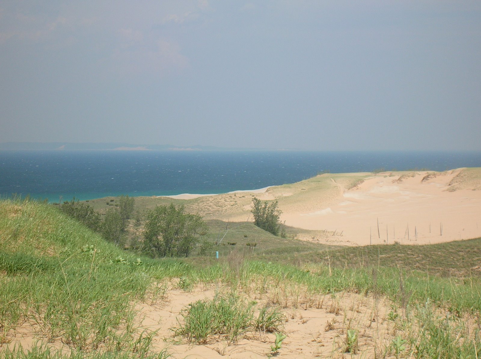
But anyhow, a week ago today, I took a late fall hike along the James River. I hope to eventually post photos of the pretty day, if I ever find that cable. Even though it was late November, there was still plenty of fall color to be seen. The only downside was foot pain. I thought that my neuroma was responding to the alcohol shots, based on the lack of real pain while backpacking. But then, I ran three miles the day before the hike, and from the start of the hike Sunday, every left step hurt. By the end of the hike, it was exquisitely painful, and on Monday, I could barely walk at more than a slow limp for a couple of days.

Back to the hike. It was seven miles, and looped around the river, following the route mapped below:
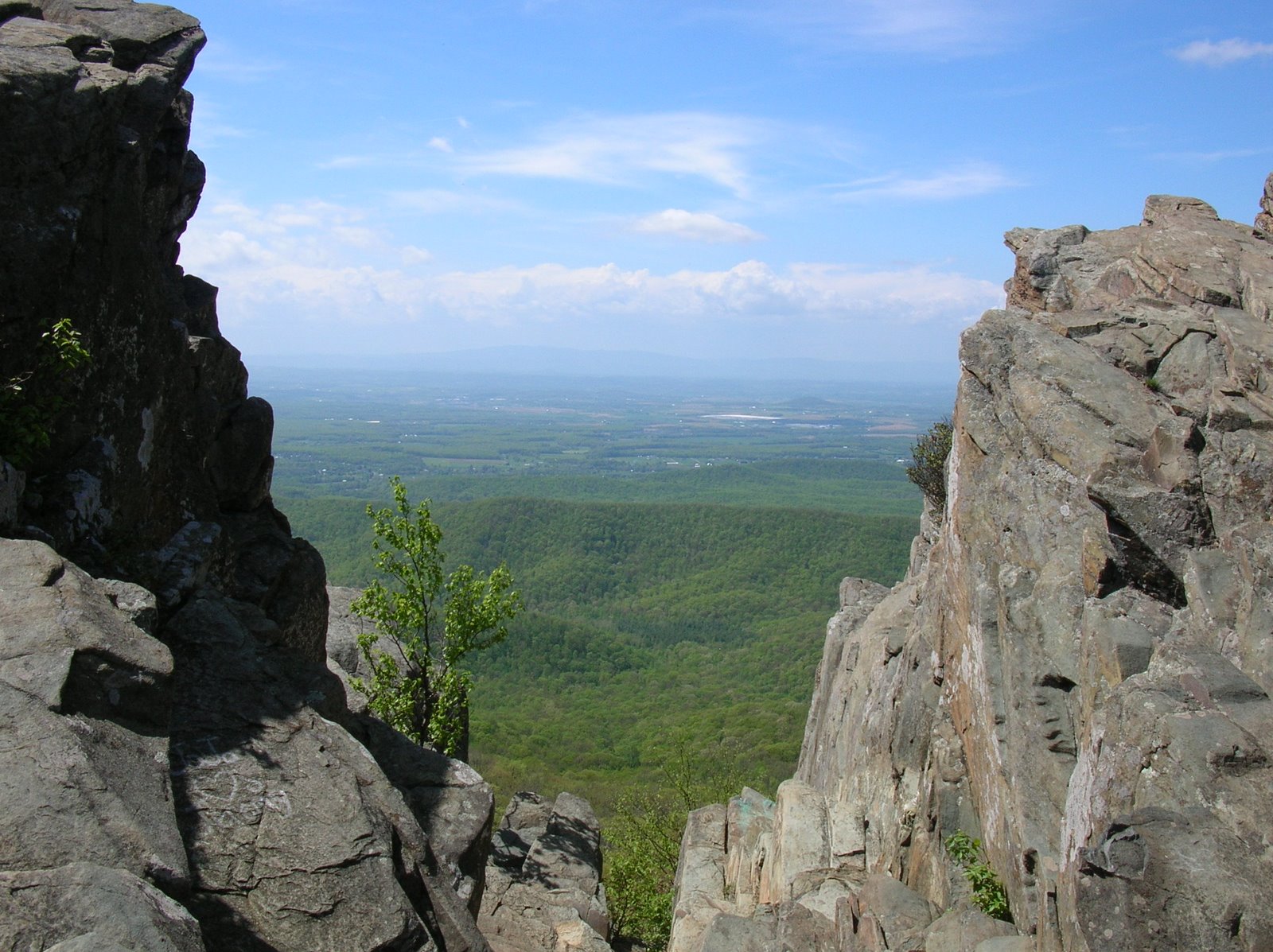
On the map, I started at the upper left near the Nickel Bridge. If I had $100 for every time I have run or walked over that bridge with Team in Training, I could take a really nice trip. On the map, I went clockwise: past Maymont on the Northside Trail, walking a half mile through city neighborhoods, then back along the river. I passed Hollywood Cemetery, site of many Team in Training early morning runs over the years, then came out on Tredegar Street with its views of the Tredegar Iron Works. I crossed to Belle Isle, also site of prior TNT runs and of city hikes, stopping to admire the Hollywood Rapids. I looped around Belle Isle, and hiked north along the Buttermilk Springs Trail. Many times, it felt like I was deep in a fall forest rather than in a large city. I ended back at the Nichol Bridge two and a half hours after starting and exactly at sunset. The full moon was beautiful that evening.

I got some nice pictures of wild Richmond in the fall, and if I ever find my USB camera cable, I will share them. Promise!

Friday, November 12, 2010

Priest Backpacking Trip - Crabtree Falls

Chris and I had packed everything up from camping out the night before, wolfed down a couple of fig newtons and some trail mix, and prepared to hit the trail. First we admired the great views from Priest Mountain one last time, but this time in morning light.
We headed down off the mountain, passing these really cool frost tubes at many points along the trail. We had never seen anything like them before.
We had dropped about 1,200 feet by the time we reached Crabtree Meadows, and then the trail leveled off for the next mile or so until we reached the top of Crabtree Falls, with great views of the surrounding mountains.
It was a good place for a late brunch, so Chris fired up his Jet-Boil stove, and we had hot chocolate and tea, then noodles and chucky bars for lunch.
It was now time to complete the trip by hiking down to the bottom of Crabtree Falls. During the 1.7 mile trail, the falls drop 1,000 feet in five major cascades and countless minor ones. It was perhaps the most beautiful falls I have ever seen, even in the low water of fall. The trail was steep with many switchbacks, and often wet and slippery - even icy in spots. We each took a tumble at points. Here are some photos of the sights along the way down. We stopped many, many times to take pictures of the beautiful falls.
At the end of the trail, we started walking along the the road 4.5 miles back to the car, virtually all up hill. We hitch-hiked as we walked, and after a mile and a half, a couple stopped and gave us a ride to the fish hatchery. What a huge help that was. Our trip was over. It had seemed like a good idea a month ago, and despite the cold, it had turned out that way!

Wednesday, November 10, 2010

Priest Backpacking Trip – A Cold Night

So we had reached the top of Priest Mountain and enjoyed the beautiful but cold and windy views from the north rocks. All of the other people admiring the view had left. We now had about 70 minutes of light left to set up camp. After looking around, we settled on a nice, open spot just yards from the rocky view. The big rocks provided some shelter from the wind. Next step – get some water.

We tied our food bags up in a tree and headed back to the Priest Shelter and its putative spring. It was a 0.4 mile walk all downhill, but obviously all uphill coming back to camp. There had to have been at least 30 boy scouts at the shelter area. It looked like a tent city! We filtered about 4 liters of water. I still had two liters in my Camelback in my pack. Then we trudged back uphill in the declining light, and put up our tents.

I picked an open grassy spot with some sparse trees overhead for my tent site. The tent was tiny – about the length of my sleeping bag, maybe 8 inches wider than the bag, and about 24-30 inches high at the very front. There was a small area to put my pack under at the front, although it stuck into the tent just a bit. We lucked out with the dry weather because I could place various gear around while setting up my tent. I had to rummage through my pack to find things I needed. We got the tents up with our sleeping gear organized just before dark. By then, I had also put on long underwear, gloves, a hat, and all my top layers because it got colder and colder.

Chris cooked dinner while I stumbled around in the dark collecting firewood, and after a hot meal that totally hit the spot we got a nice fire going in an existing firepit. Someone had set up big logs around the firepit that made a nice seat for dinner and trying to stay warm. I was coming back to the fire with some more dead branches when I looked up to the north through the trees and saw the stars. They were amazing! The stars in the Big Dipper looked as bright as Jupiter usually does! We walked out on the rocks in the open along the edge of the mountain and gazed up in wonder. I have never seen stars so bright. You could see the entire Milky Way, including its spiral arms. The entire sky was ablaze with stars. If I had 10,000 words to write, I could not adequately describe the scene, but we both agreed it would be our one dominant memory of this trip. We lay on our backs on the rocks for a while, enjoying the view for a few minutes until the continuous winds drove us back to the fire.

The fire burned down about 8:20 and we said goodnight and went to bed. It was just too cold and windy to do otherwise. The little bucket of water that we still had was already coated in thick ice less than three hours after we collected it, so we dumped it to prevent a solid block of ice by morning.

I crawled into my tent. Man, that thing was small – and cold. I took off my trousers, gloves, and boots but left all my other clothing on – even my hat. It took me a good 5 minutes to squirm around and get settled into the sleeping bag liner and into the bag. The wind was roaring outside but the tent was fairly well sheltered. I finally got warm enough but could not sleep. After a couple of hours I got up to visit a tree, then rushed back to bed. I repeated this maneuver, with dread, several more times during the night. It kind of went like this:

Debate whether to get up or not. Finally decide I have to. Put on my headlamp and glasses. Unzip the sleeping bag, usually struggling a bit. Unzip the front of the tent. Realize that although the tent feels cold, it is a lot colder outside. Squirm out of the bag to a kind of crouching – kneeling position: the tent is too short to sit up in. Find my boots and place them outside the tent. Crawl outside and put one foot in a boot, usually tripping in the process. Get the other foot into the other boot, usually tripping again. Walk over to a tree, usually tripping on something, to take care of business. Come back to the tent, shivering. Kneel down and remove boots while crawling into the tent. Place boots in tent. Take what seemed lie 5 minutes to crawl into the sleeping bag and liner and get the bag and tent zipped up. Then lie there at least 15 minutes until I felt more or less warm again.

On one such trip, I nearly screamed like a little girl when I rammed my shin into a shin-high thin stump, ripping a jagged little line along my shin. I suppressed the urge to scream but instead I said – well, never mind what I said, gentle reader! Suffice to say, on my next trip I watched out very carefully for that stump.

I did sleep some but fitfully, as I hate sleeping on my back. Every time I slept on my side, my hip bone would eventually ache from being pressed into the ground. I listened with envy to Chris snoring loudly enough to be heard over the wind in his tent 30 feet away. The wind blew a good 15-25 knots all night but could not suppress Chris’s snoring.

Eventually, daylight came and I ventured out to scrounge up some more firewood. It had to have been around 12-15 degrees F, and I decided it was just too cold, so I went back to bed. I lay in the warm sleeping bag thinking about the hike, thinking about the stars last night, thinking about life. Chris – well, he was snoring. When we both got up for good about 9AM, we had to skip our planned pancake breakfast because we had no water. We had some ice, but no liquid. So we each ate a couple of fig newtons and some trail mix for breakfast, broke camp, and headed down the trail. We would be descending alongside the amazing Crabtree Falls, the highest cascading waterfall east of the Mississippi. We knew that somewhere along the trail, we could get water from the stream and prepare brunch. It was still well below freezing, but it felt great to be moving and the soreness and stiffness from the night in the tent quickly wore off.

To be continued...

Tuesday, November 9, 2010

Priest Backpacking Trip - AT to the Priest

We left Spy Rock in early afternoon, scrambled down the steep rocks, and retraced our steps to the Appalachian Trail, heading north towards Priest Mountain. It was about 3.5 to 4 more miles, much of it uphill but with some very pleasant ridge walking as well. After the big crowds at Spy Rock, the solitude of the trail was kind of nice, and led us to speculate that we would have the Priest Mountain Shelter to ourselves as cold as it was going to get.

Much of the walk was without views, and we saw hardly any wildlife – just a few juncos from time to time. Now and then we had pretty views, like this one of Cash Hollow.

But mostly, it was just the Appalachian Trail going through some nice forest land.
After a while, we had a view of Priest Mountain looming above us:
I have no idea what this plant was, but we thought it was very interesting:

Eventually, we passed a hiker going towards Spy Rock, and shortly thereafter, we came to the intersection of the AT with a very rough and steep woods road coming up from the Crabtree Meadows area. It was at this point that our illusion of solitude at the shelter was shattered. Boy scouts staggered up the road, complaining about the steepness. “How much further to Priest Shelter?” several asked. “About a mile and maybe 800 more feet in elevation,” we replied. We were greeted with loud groans, and headed up into the Priest Wilderness Area in the George Washington National Forest.
The final 1.3 miles to the summit was nearly 100% uphill, but was not bad, other than we were getting tired of carrying our packs. About a half mile from the shelter, a man was walking down and told us that he was looking for the rest of his boy scout group. He told us that they had a very big group up here from Virginia Beach. It was at that point that Chris and I decided to skip the shelter with its spring, lean-to, and outhouse, and just head to the summit to camp. We got up there about 4:30. There were about a half dozen hikers enjoying the views, which we did as well. They were spectacular to the north and east especially and we soaked them in for some time despite the rapidly chilling temperatures and very strong winds.


Then, just before looking for a spot to camp, we each posed for a photo:


We had only a little more than an hour of daylight left, and much to do, so it was time to set up camp for the night.

Priest Backpacking Trip - Spy Rock

(See Intro)
November 6. Our trip was really three hikes in one: Spy Rock, The Priest, and Crabtree Falls. Chris drove us to the trailhead at the Montebello Fish Hatchery, and we started hiking upward toward Spy Rock about 11:15. It was a cold day and I started with a couple of layers. I would be stripping and adding layers all day, until we settled at camp that night, at which point I put on everything I had. The first half mile of the hike was up a steep old woods road. There was very little fall color left, but I did see this firey maple early in the hike:
Here is Chris hoofing it up the woods road:
We reached the Appalachian Trail, and started heading towards Spy Rock, just over a mile away. Here I am, standing next to a tree that reminded me of a gigantic elephant's foot:
We started running into patches of snow, but we never encountered any real accumulation. It was certainly cold enough for snow, but by now, the exertion of hiking uphill had led me to strip down to one layer. As long as I kept moving, it was enough.
We reached the junction to Spy Rock, hiking through a park-like forest with beautiful potential campsites (but no water). When we got to the "rock," a huge granite dome of sorts, there was no obvious way up. So we scrambled up, taking a good 20 minutes and several false starts. With 360 degree views, it was well worth the exertion. There were many, many people on the rock, and we had encounterd lots of folks on the trail. The winds on the exposed rock were strong and cold, so it was time to put the fleece back on, as well as my hat and gloves. We found a protected spot and ate our lunch of sesame bagels with peanut butter and honey, fig newtons, and hot chocolate. We enjoyed the views for a while, talked to a number of people on the rock, then packed up and scrambled (with a little sliding involved) back down to the Appalachian Trail. Next stop: Priest Mountain!

Here are some pictures from Spy Rock.
View to the southwest:

Art on Spy Rock:
Ice chunks in a puddle:
Chris on Spy Rock:
View towards the north, where we are heading for the night:
Panorama of part of the view from Spy Rock:

To be continued...

Monday, November 8, 2010

Backpacking The Priest - Intro

It seemed like a great idea at the time, back in early October with the warm days and cool nights of fall. “What do you say we do a backpacking trip?” my co-worker Chris said. “Sounds great! Let’s do it!” was my eager reply. We looked at our schedules and settled on November 6 and 7. Early November in Virginia, even in the mountains, is pretty pleasant more often than not. We spent a couple of weeks chatting now and then about potential routes we could do in two days, and eventually Chris suggested The Priest, which is a 4,000 foot peak in the Religious Range of George Washington National Forest. But the route he had looked at seemed too short, so I started doing a little research and came up with a modification. Day 1: starting from the Montebello Fish Hatchery, we hike up to Spy Rock, then head out on the Appalachian Trail and hike up The Priest. We spend the night at the shelter, which has a nice spring very close to it. Day 2: on Sunday, we hike off the mountain and descend along Crabtree Falls, the tallest series of cascades at 1,000 feet east of the Mississippi. We reach the road and hike about three miles back to the car. (Never mind that it was actually 4.5 miles, and nearly 100% of it uphill.) Here is the route, with the starting point to the left side of the map, with the Priest being the lower right corner of the map:
We agreed on the route, Chris said he would loan me a tent, and we planned our meals and who would bring what. On Monday, the weather forecast for the weekend said temperatures would drop into the 20’s for the weekend, so I decided I needed to spring for a warmer sleeping bag. I went out and bought a Marmot Trestles bag good to 15 degrees, and also a Sea to Summit bag liner that would help keep the bag clean and also add about a dozen more degrees to the temperature range. Given the weekend weather we ended up with, this proved to be the wisest $160 I think I have ever spent.

I haven’t been backpacking in years and needed to buy a few other things (including a good topo map of the area because you don't want to trust navigation solely to a GPS), dug out my pack, and tried to figure out how to cram it all in:
My pack ended up weighing about 36 pounds fully packed, including the little tent that Chris loaned me. That is about 6 pounds more than I really wanted to carry but I could not figure a way to save weight, other than carrying 2 liters of water instead of 3 would have cut about 2 pounds. My backpacking pack is not huge. I bought it for a 3 day trip three years ago in the White Mountains, and on that trip I did not carry a tent, sleeping bag, stove, or a lot of food because I was staying at AMC huts. So given the big sleeping bag and other cold weather stuff I had, I had to get pretty creative to fit everything in, but it happened. Saturday arrived, I finished packing, and headed over to Chris’s home in Midlothian.

It was obviously going to be a very cold weekend, but cold or not, the trip was on. The forecast for towns near the area was for highs around 40 and lows near 20, but those towns were not at 4,000 feet. A female friend asked me with some alarm the day before “You’re not going through with this, are you? You might freeze up there!” “Of course I am going through with this! We’re men!” was my feeble, but accurate reply.

To be continued...