Tuesday, November 24, 2020

The Lazarus Woodpeckers

 Did you ever see a woodpecker rise from the dead?  While hiking in Shenandoah Saturday, I was watching two downy woodpeckers across the river, and, well, I'll just describe it using my nature journal entry:


Wednesday, November 11, 2020

Back in Shenandoah

 It's taken me nearly six months to get past my gall bladder issues, but I finally got my gallbladder out the end of September and started doing some easy and short hikes a couple of weeks later.  About 10 days ago, I felt like I could handle a basic hike in Shenandoah, so I hiked about five miles, most of it on the Gasline Fire Road.  This was a new trail to me, and so it counts towards my SNP 500 quest which got rudely suspended last March after I had coronary stents placed.

I don't think that I will post every hike here, at least not the very short ones, but I will try to keep my blog going now that I am back on the trails.  I've only hiked about 65 miles this entire year!

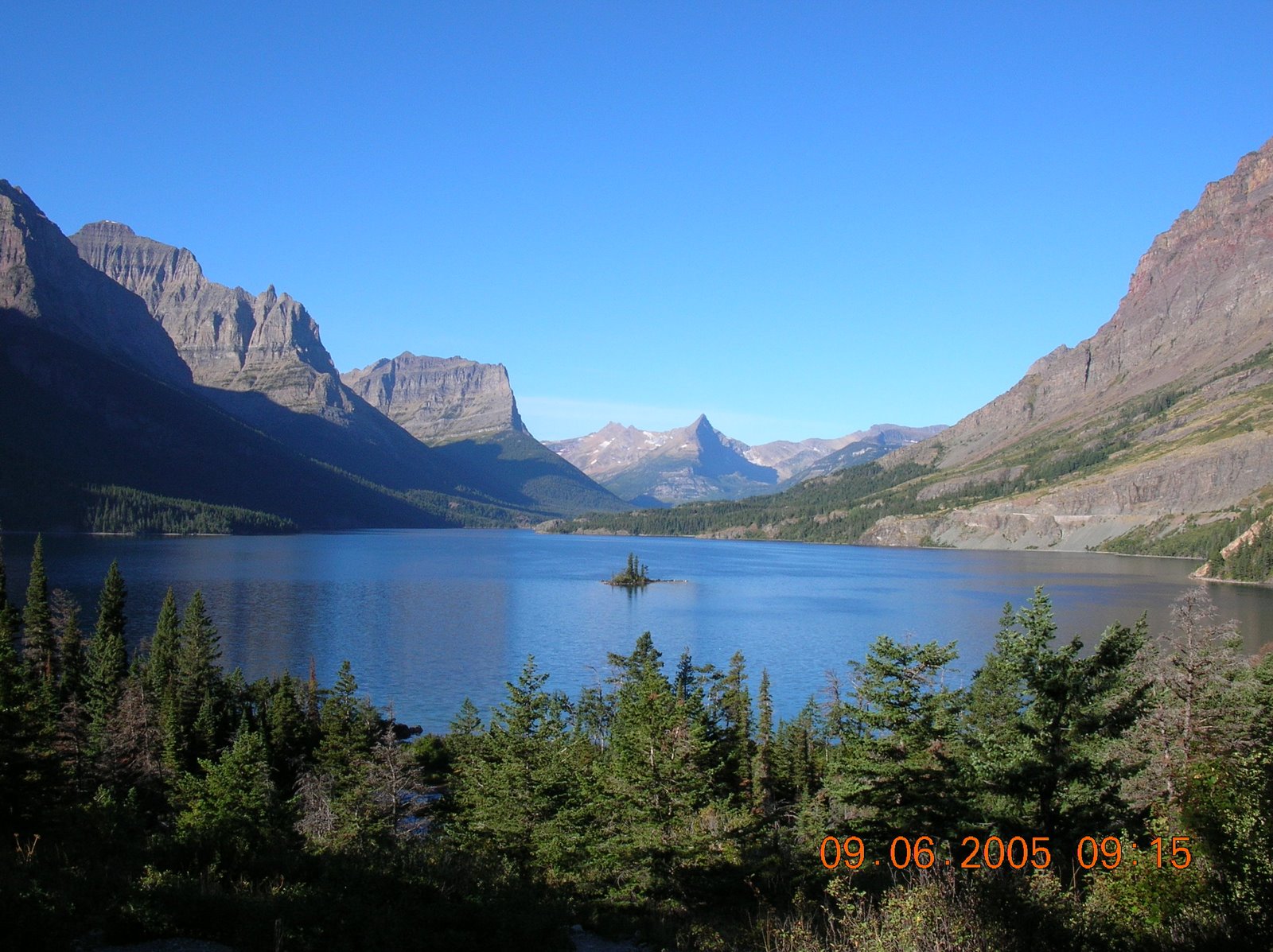
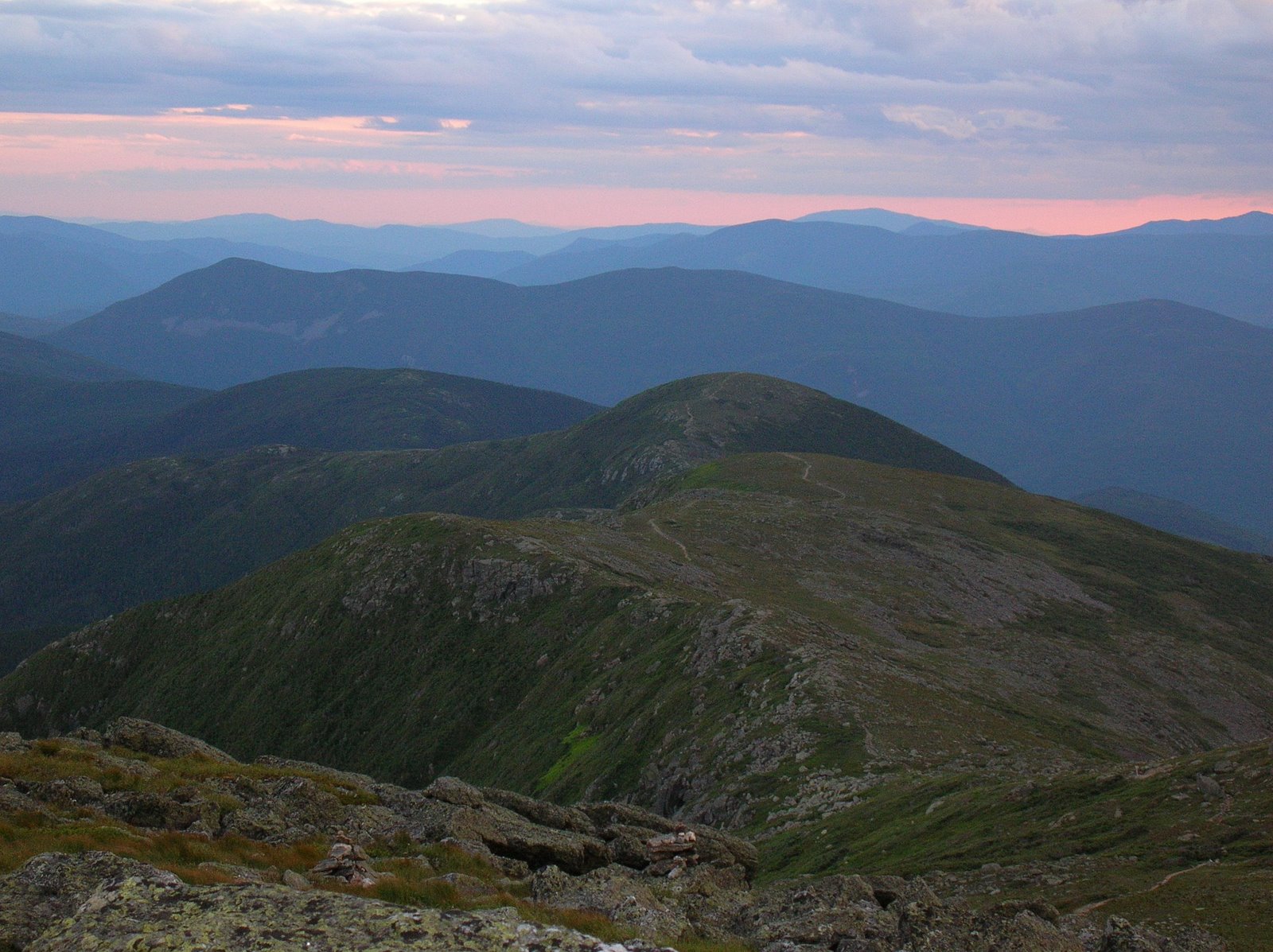
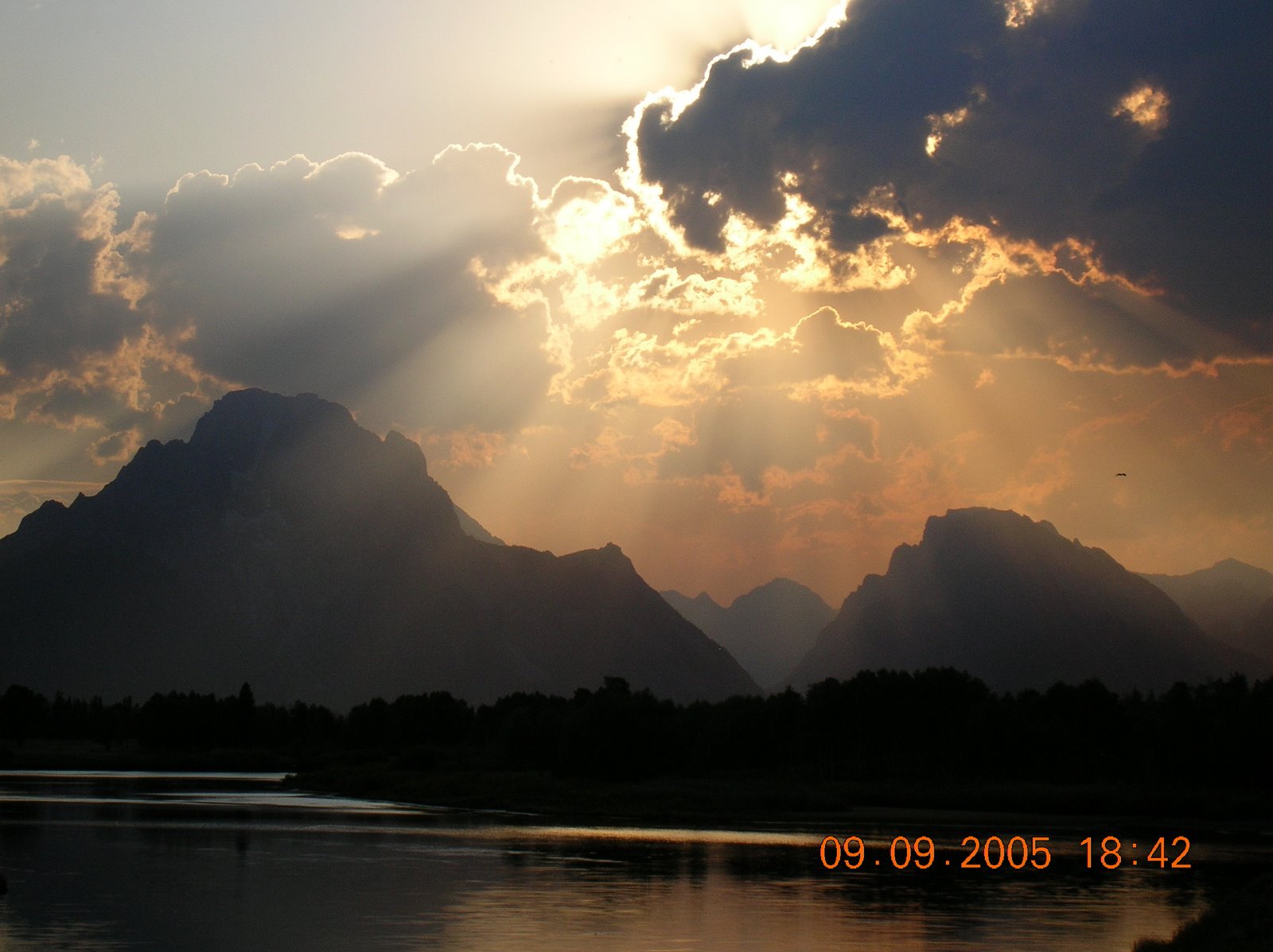
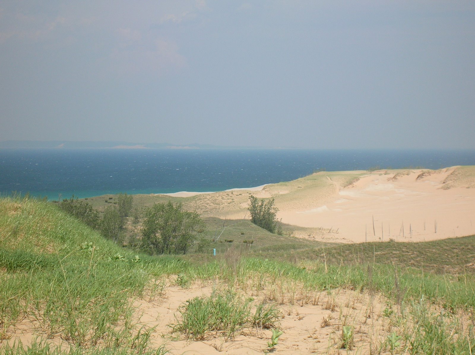
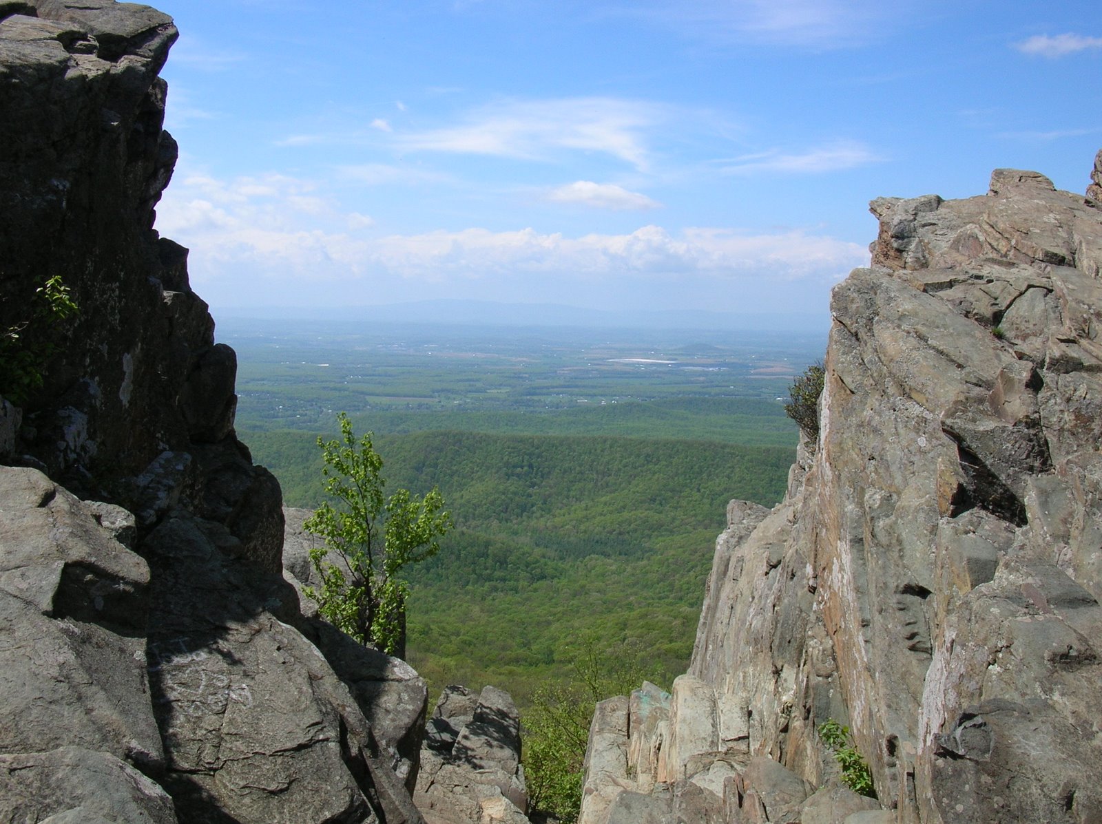
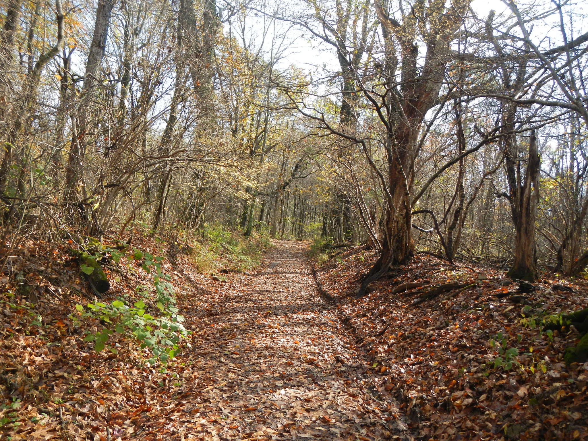
When I got to the park, it was pouring.  My radar app had showed a band of rain that looked like my hiking area would be on the border of it, but the rain area moved westward just enough to give a soaking and steady rain.  So, I hung out in my car and relaxed for about an hour waiting to the rain to pass, which it did.  Here are some photos from the Gasline hike:

This being an old fire road, the going was pretty easy.  I lost and gained about 700 feet over about 2.3 miles each way.


There was some kind of a weather station party way down the hike.

Now and again, I had some partial views, but most of the hike was through forest.

More nice, easy walking ahead of me, although the fall foliage was about a week past peak.


Near my turn around point, I had to wade across this stream.  There was nothing to cross on, but I was prepared and had brought my water shoes.


The water is cold in November, but I only had to hike another 500 feet or so to the park boundary, then I got to turn around, cross back over, and put my boots back on.

On the hike back up, the skies were beginning to clear up.

Sassafras leaves are so pretty in the fall.

One doesn't see many flowers in November, but this common self heal was blooming.


After getting back to my car, I ate lunch, and then drove a mile or so to my next hike, the Bucks Elbow Fire Road.  This is a very short hike, about 0.3 miles out and back.  It's a pleasant fire road with maybe 100 feet of elevation gain from the parking lot.

Shenandoah National Park boundary, my second of the day.

It feels good to be hiking again!  What a year!

Saturday, August 29, 2020

Nature Journal - Junco

 Since posting the other day about my nature journal, I added a page for some dark-eyed junco observations that I made last summer while leading June and July Road Scholar hikes.  Juncos live year round in Shenandoah, but are only found here in the winter.  I like these cheerful little "snowbirds," and am always happy to encounter them.  Finding the nest while leading the hike was a big thrill - everyone enjoyed getting a look at a bird nest with eggs.  Here is what I wrote yesterday and today in my journal about the Shenandoah juncos.


Wednesday, August 26, 2020

Updating my Nature Journal

 Nearly four years ago, a friend of mine with Virginia Master Naturalists gave a short "class" on keeping a nature journal.  The class gave us a journal with about 60 or so pages, and a set of 12 watercolor pencils.  I started writing in it, and although I'd not drawn anything since elementary school art class (just after the Civil War), I tried a few sketches of birds and plants.  These were mediocre at best, dreadful at worst, and I kind of put the journal aside, more or less for three years.  I did, however, make written observations from time to time.

With the pandemic and my forced quarantine for health reasons, my friend said "why don't you try again?"  She brought me some more stuff, and I finally got to the point in July where I wasn't feeling sick and in pain pretty much constantly, so I opened up the journal and started adding drawings.  My first sketch was a blackberry plant in my backyard that the catbirds and robins loved to eat from, and it turned out pretty good (well, my opinion.)  It's the first thing I tried to draw in three years, plus I did it on my birthday!


I went back to my Shenandoah experiences and did a few sketches of things I encountered while hiking.  And I also added many entries and sketches of things I see in my backyard.  Bottom line - in just about a month, I had filled the final 1/3 of the journal (it had taken me 3.5 years to do the first two thirds), and I've started a second nature journal, one that is not only larger with 100 pages to fill, but each page is nearly twice the size as those in my first one.

So I thought I'd share a few of the sketches I made of things I saw while hiking, mostly in Shenandoah National Park.

Here is a fungus (Heartrot fungus) that I saw on a rotten log in the park while leading Road Scholar hikes last July.


While leading Road Scholar hikes in July and October, I saw various insects on milkweed plants, and sketched them in late July.

I also had enjoyed finding a monarch caterpillar in October on one of the hikes, and had seen a monarch on a milkweed flower in the July hikes, so I decided to sketch the life cycle of the monarch butterfly.


During the October hikes, I was delighted to find not only some small American chestnut trees, but also some chestnuts.  This tree was once the most common tree in the southern Appalachians until the Chinese blight wiped them out.  One in three trees was once a chestnut.  I also saw a bumblebee getting a late nectar snack from a thistle.  So I added these to my nature journal.


Finally, for now from Shenandoah, a couple of springs ago, I was hiking in the park with very few signs of spring at higher elevations, but at the lower elevations, I saw a dwarf iris in bloom with a wintergreen just next to it.  So I added these to the journal where I had written about that hike.

Several years ago, I took my granddaughter backpacking in Michigan.  I'd made a few sketches of the forest and lake in the field, but decided to add this sketch last month of some painted turtles on a log near our campsite.


Saturday, August 22, 2020

Why the Heck am I Not Hiking????

 Back in March, I mentioned that I had a coronary artery blockage and needed three stents to be placed.  I was sure that I would be hiking in early May.  But in mid-April, I had agonizing abdominal pain and vomiting, which I initially thought was due to giving birth to an alien!  After a couple of ER visits and hospital stays a week apart, they finally figured out the problem - gallstones!  Since I'd only had the stents placed a month ago, stopping the blood thinners for the removal of the gallbladder was too risky.  They told me that I had to wait a minimum of five more months.  So they put in a gall bladder drain - don't ask - which has been a pain to deal with but allows me to eat without getting the pain because it essentially negates having a gall bladder.  Along the way, I had more problems - pain, nausea, and liver damage - that appears to be related to flushing the drain line three times a day.  In late June - after losing a total of 25 pounds since March - my doctor said that I should stop flushing the drain, and the problems for the last three months have been minimal.  And my liver values, while still high in a couple of cases, are moving in the right direction, and a couple of them are finally normal again.  Plus, I've gained back about five pounds.

If all goes well, my surgery is about a month away.  I'll be laid up for 2-4 weeks after that, and then hopefully can start getting back in shape, and maybe starting some easy hikes in mid to late October.

Fingers crossed, but boots not laced - yet!

Friday, March 27, 2020

The Beat Goes On!

On March 8, a Sunday, I hiked nine miles in the mountains.  While it was not a steep hike, there was continuous uphill one way and downhill on the return for the two out and back hikes.  I had no problems or shortness of breath, or feeling tired.

On Tuesday night, two days later, I had pretty severe chest pain about 11PM and went to the emergency room.  The ECG - all three of them - showed no heart attack, but they admitted me about 3AM for more testing.  As things turned out, they decided they needed to look inside my coronary arteries and found that two of them were blocked!  One was 100% blocked and one was 90% blocked.  Three stents later, they were open and blood was flowing again.  The cardiologist told me that he believed I had had a minor heart attack with no permanent damage.  I spent another night in the hospital and then got sent home Thursday afternoon.

I'm not overweight, not a smoker, never do drugs, and drink very moderately.  Plus, I get a lot of exercise.  My diet is not perfect - butter, cheese, ice cream, and salt have been my pals.  But my diet is not horrible either.  In the hospital, my cholesterol was about 180.  Despite all that, I had major blockages.  I now have enough medications to supply a pharmacy in a third-world country.  I am trying to eat very carefully.  And I got permission to start walking again, starting slowly, about a week ago.  I was going to participate in a cardio rehabilitation program and had my orientation earlier this week, but then they shut the program down yesterday because of the COVID-19 pandemic.  I was looking forward to being monitored while exercising, so that is a bummer.

My dad needed a triple-bypass in his mid-50's so maybe I have some genetic risk factors.  That seems to be the most likely thing that caused this.  The cardiology nurse told me that all my walking and hiking probably delayed something that was almost inevitable, given that I do eat a certain amount of saturated fats.  And my blood pressure was high, which was never a problem before, so now I am taking my BP at home a few times a day.

I won't do any serious hiking until May, when I have another cardiology appointment.  But I am walking and am up to about 2 miles.  My goal will be to get to three miles in a few more days and four by the end of next week.

A few weeks ago, I was planning on hiking strongly the rest of March and into April.  Now, I feel grateful to be healthy and look forward to hitting the trails in about a month, assuming they don't shut the parks down.  Shenandoah is still open, but camping anywhere in it is off limits, and certain really popular trails are closed, all due to the pandemic.

Happy trails, folks!

Monday, March 23, 2020

Oh, What a Beautiful Moorman (River)!

About two weeks ago, I set out to complete hiking on the Moorman River Trail in Shenandoah.  The trail is about 9.5 miles long and runs along the eastern side of the park, following the North Fork and the South Fork of the Moorman River, a beautiful small river with waterfalls and trout.  I'd hiked part of it in a couple of earlier hikes, but wanted to complete it.  My original goal had been to do about a 20 mile circuit and camp out along the river.  However, about a mile of this trail would have been through private property, and I had heard that the owners had posted their land, so I decided to do the remaining miles as two out-and-back day hikes.  Each hike was about 2 - 2.5 miles, each way, for a total distance of about 9 miles.

Here's a map.  I started and ended at the purple circle, the Sugar Hollow Reservoir.  The North Fork, which I did first) involved hiking north (pink arrows), and the South Fork involved hiking south (sky blue arrows).  You can see the Appalachian Trail marked to the west.  That would have been part of the longer 20 mile loop, and was the same portion of the AT that I had hiked with the group just a few days earlier.

Hiking the two trails both involved multiple river crossings.  Most of these could be rock-hopped, but in a couple of spots, it looked like I would be setting myself up for a potential fall, so I waded.  Here is the first crossing, on the North Fork:

The trail was very pleasant.  I saw a few hikers, a few moms or couples with their kids doing a casual hike, and a number of anglers trying to catch the wily brook trout.

Here is the second river crossing, just a hundred yards or so after the first.

And here is the third crossing point, which I decided to wade for safety reasons.  It was quite cold, and of course, I waded it going back as well.


My goal was to reach Big Branch Falls, which I had approached from the north a couple of years ago.  There is a water slide at this point.

And there is a beautiful waterfall...

And a deep pool that would be great for a swim on a hot summer day.

Here is another view of the waterfall.

From here, I back-tracked to my car.  When I had arrived, about 9:00, the parking lot was already filling up, but there was plenty of space left to park.  Now, not so much.  People were parking all over the place!  I started hiking south.  Like the earlier hike, this would involve about 2 - 2.5 miles each way and 400-500 feet of climbing, and several stream crossings, including wading one time.  At the beginning, I climbed steeply for a while and had this view of the South Fork Moorman River through the forest.

Along the trail were some old homesite ruins.  I always reflect on what their lives must have been like - incredibly difficult, I would imagine, but hopefully with some joy along the way.

Look at the quality of the work in this stone wall, which must have been part of a cabin or out-building at some point.

By walking steeply down from the trail, I reached this small cascade and swimming hole.  Someone told me that it is called "Blue Hole."  It was a pleasant day, but not pleasant enough to be tempted to take a swim.

This trail was very easy to hike.

Spring is early this year, as noted by all the wildflowers on March 8.


When I got back to my car, the parking lot - and the road  coming in along the reservoir - were jammed full of cars.  I could barely get my car out.  On the two hour drive home, I stated making plans for my next hikes.  I was thinking that in one really long day, I could complete the remaining trail miles in the Southern District of the park.  But life has a way of interfering , as I learned a couple of days later.  Did you ever hear the saying "If you want to make God laugh, tell Him your plans?"

More about that next time.


Friday, March 20, 2020

Last of the AT in Shenandoah

I had two little sections of the Appalachian Trail left to hike in Shenandoah National Park - from Blackrock Gap to Riprap Hollow Parking, and from Wildcat Ridge to Turks Gap.  So, on March 5, I organized a hike with the Old Dominion Appalachian Trail Club to hike the eight miles from Blackrock Rap to Turks Gap.  The map below shows the route, starting from the top of the map and hiking to the bottom edge.  There was about 1,000 feet of elevation involved.


Ten of us went on the hike, and it was a merry group.  We had a big enough group to allow multiple cars, and this allowed a car shuttle so we could hike one way.

A little bit of the trail went through pine forest.

Taking a short break...

I always like seeing the woodpecker holes, and I always wonder what family dramas have taken place in the nests over the years.

Here is one of the few views we had of the Shenandoah Valley.

Lunch break at the trail junction with the Wildcat Ridge Trail.

In early March, the park is still in late winter.

On the last couple of miles of the hike, we had a partial view of the Sugar Hollow Reservoir, which was the starting point of my next hike in a few days.  I wished I'd taken a photo but there were trees blocking the way, so I kept hiking, waiting for a better view - which didn't happen.

Other than the fun of hiking with a group again - which may not happen for a while with the COVID-19 virus running all over the place - it was good to be in the mountains and actually hiking up and down, and it was good to check off these last little sections of the AT in the Park!