Showing posts with label waterfalls. Show all posts

Monday, March 23, 2020

Oh, What a Beautiful Moorman (River)!

About two weeks ago, I set out to complete hiking on the Moorman River Trail in Shenandoah.  The trail is about 9.5 miles long and runs along the eastern side of the park, following the North Fork and the South Fork of the Moorman River, a beautiful small river with waterfalls and trout.  I'd hiked part of it in a couple of earlier hikes, but wanted to complete it.  My original goal had been to do about a 20 mile circuit and camp out along the river.  However, about a mile of this trail would have been through private property, and I had heard that the owners had posted their land, so I decided to do the remaining miles as two out-and-back day hikes.  Each hike was about 2 - 2.5 miles, each way, for a total distance of about 9 miles.

Here's a map.  I started and ended at the purple circle, the Sugar Hollow Reservoir.  The North Fork, which I did first) involved hiking north (pink arrows), and the South Fork involved hiking south (sky blue arrows).  You can see the Appalachian Trail marked to the west.  That would have been part of the longer 20 mile loop, and was the same portion of the AT that I had hiked with the group just a few days earlier.

Hiking the two trails both involved multiple river crossings.  Most of these could be rock-hopped, but in a couple of spots, it looked like I would be setting myself up for a potential fall, so I waded.  Here is the first crossing, on the North Fork:

The trail was very pleasant.  I saw a few hikers, a few moms or couples with their kids doing a casual hike, and a number of anglers trying to catch the wily brook trout.

Here is the second river crossing, just a hundred yards or so after the first.

And here is the third crossing point, which I decided to wade for safety reasons.  It was quite cold, and of course, I waded it going back as well.


My goal was to reach Big Branch Falls, which I had approached from the north a couple of years ago.  There is a water slide at this point.

And there is a beautiful waterfall...

And a deep pool that would be great for a swim on a hot summer day.

Here is another view of the waterfall.

From here, I back-tracked to my car.  When I had arrived, about 9:00, the parking lot was already filling up, but there was plenty of space left to park.  Now, not so much.  People were parking all over the place!  I started hiking south.  Like the earlier hike, this would involve about 2 - 2.5 miles each way and 400-500 feet of climbing, and several stream crossings, including wading one time.  At the beginning, I climbed steeply for a while and had this view of the South Fork Moorman River through the forest.

Along the trail were some old homesite ruins.  I always reflect on what their lives must have been like - incredibly difficult, I would imagine, but hopefully with some joy along the way.

Look at the quality of the work in this stone wall, which must have been part of a cabin or out-building at some point.

By walking steeply down from the trail, I reached this small cascade and swimming hole.  Someone told me that it is called "Blue Hole."  It was a pleasant day, but not pleasant enough to be tempted to take a swim.

This trail was very easy to hike.

Spring is early this year, as noted by all the wildflowers on March 8.


When I got back to my car, the parking lot - and the road  coming in along the reservoir - were jammed full of cars.  I could barely get my car out.  On the two hour drive home, I stated making plans for my next hikes.  I was thinking that in one really long day, I could complete the remaining trail miles in the Southern District of the park.  But life has a way of interfering , as I learned a couple of days later.  Did you ever hear the saying "If you want to make God laugh, tell Him your plans?"

More about that next time.


Wednesday, December 4, 2019

Doyles River Falls, Again

Last Tuesday, my friend Doug asked me if I wanted to go hiking with him and his son, Eric.  Sounded good to me.  After a cold snap, the weather was supposed to hit the high 50's in the mountains.  After some back and forth, we decided to go to Doyles River Falls.  Since Eric had to be back in time to get to "Hamilton," we decided to do the shorter loop of about seven miles.  The longer loop adds about 1.5 miles and 600-700 feet of steep uphill climbing.

Here is a map with the shorter track.  We started at the Jones Run Trailhead (lower left) and hiked counter-clockwise down the Jones Run Trail to the Doyles River Trail to the Browns Gap Fire Road to the Appalachian Trail.  It's about seven miles with about 1,400 feet of elevation loss and gain.

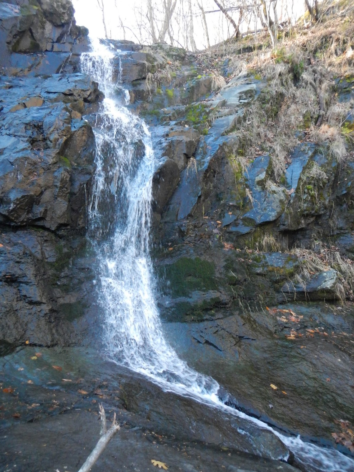
This time of year, you never know whether to expect a trickle at the three falls or not.  I felt as if the flow were unusually strong for late November.  Within a fairly short hike, you are comforted by running water for several miles.  I liked the water sheeting over this rock face:

Doug, Eric, and Charlie Brown stand in front of Big Falls on Jones Run.  The falls are about 40 feet.

Big Falls.

The trail follows Jones Run (left) for some time, and then goes uphill when it reaches the Doyles River.

Lower Doyles River Falls makes me think of a bridal veil.

Upper Doyles River Falls was the perfect lunch spot.

It was a pleasant day hiking, and Charlie Brown's first hike!  Doug adopted him recently as a rescue dog.  He seemed to enjoy the outing, even finding some awful pungent substance to roll around in on the trail back.  It smelled like deer urine or bear urine.  He smelled awful and we drove home with the windows down.  Other than that, it was a fun hike with good company on a nice day in the mountains.

And with that, I've caught up my four recent hikes!  But I hiked yesterday, and thus, am behind again.

Wednesday, August 21, 2019

Scholars on the Road

While I mull over what I will do with this blog, I think that I will write a post about a fairly unique set of hikes.  This opportunity kind of fell into my lap, but the bottom line is that I was asked to lead hikes in Shenandoah National Park for about a week in June and July for the Road Scholar program.  I really enjoyed this.  My general duties were to (1) lead a hike each day of a distance from 4.5 to 9.5 miles (2) make sure that my participants - up to a dozen at a time - were safe, stayed together, and didn't get lost (3) answer as many questions as I could - birds, wildlife, history, flowers, general plants, geology (4) interact with the hikers and keep them engaged and involved and included (5) give a talk one night to the participants (my talk was on common wildlife - mammals, birds, reptiles, and amphibians - of the park.)  In return, I got to go hiking every day, got a room at Big Meadows Lodge for the week, got three squares a day, and got paid some money.  Plus I got to enjoy the company of some really fun and wonderful people from all over the place!

The hikes were led by two of us.  Each day, one of us lead a shorter hike and one of us led a longer hike, and we switched every day.  The hikes were in the Big Meadows area, generally along the Appalachian Trail, but we threw in a bonus hike or two along the way.  The general schedule was: Monday - Big Meadows Falls loop; Tuesday - Hike from Lewis Mountain north on the Appalachian Trail until either Bootens Gap or Milam Gap; Wednesday - hike north along the AT from either Fishers Gap (longer) or Hawksbill Gap (shorter) to Stony Man; Thursday - Camp Rapidan (a 4.5 mile out and back or an 8 mile loop).  Here is a high level view of the trails.  The arrow points to the general location of the Big Meadows Lodge:


For the two weeks, I hiked about 30 miles each four day session.  We had wonderful weather almost all of the time, even in July.  98% of the people were great and a lot of fun to be with.  I'll be going back in October for one more week.  In June, the wildflowers and birds were great, and in July, we continued with great wildflowers and also butterflies.  Here are some photos from the two weeks:

JUNE -

Bumblebee approaching flowers

Fly poison, so named because earlier settlers ground the toxic plant parts and mixed them with surag water to poison flies in their cabins.

Dark Hollow Falls

Cave family cemetery in the park

View from Bear Fence Mountain

View from Hawksbill, the highest point in the park:

Views from Stony Man, the second highest point in the park:


"The Creel," one of the cabins at President Herbert Hoover's camp:

Cottontail rabbit:

Sunset from Big Meadows Lodge:

JULY:

Dark-eyed junco nest on ground in the base of a hollow tree:

Monarch:

Question mark:

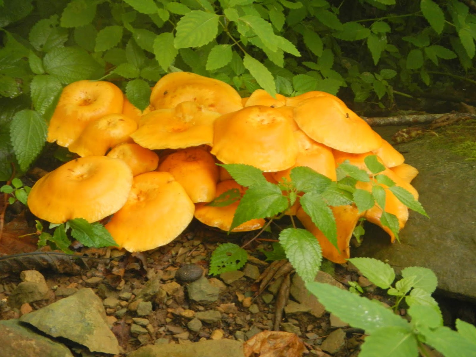
Unidentified mushrooms

Syrphid fly on flower:

Eastern tiger swallowtail:

Silver-spotted skipper:

Dark form female, and male, eastern tiger swallowtails:

Orange fungus on dead log:

Indian Peace Pipe:

Turk's cap lilies:

Beetles on milkweed:

Turk's cap lily:

Yellow and green:

White-tailed deer:

Yours truly on Little Stony Man cliffs:

The sun sets on the week:

Polyphemus Moth:

I enjoyed my two weeks helping to lead hikes for the Road Scholar program.  It was great fun with wonderful folks on beautiful hikes.  I look forward to going back in early October.