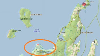
This spot is one of the more remote ones in this beautiful lake shore (to read about the legend of Sleeping Bear Dunes, go to my post of three years ago.) But it is also popular, so there is not tremendous solitude here, plus it is only about a kilometer walk each way from the parking lot to this spot. This map shows the track I took as an out and back, including a short side trip by myself ( Sarah had a headache and went back to the car) through the forest. On this side hike, I saw a shrew but that was it for wildlife on the entire two mile hike. The starting and ending point is at the arrow.
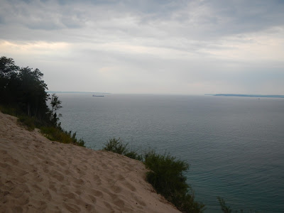
The views from the cliffs extend over Lake Michigan and past the North and South Manitou Islands. These would both be great places to do overnight hikes to some day. Being islands far out in a huge lake, they are not easy to get to. Even on cloudy days, the views are great at from Pyramid Point’s cliffs. Being high up, there is a moderate climb to reach this spot, as shown on the elevation profile:
Here are some more photos of the hike. At the end, as a bonus, I threw in a couple of pictures I took Wednesday evening from Good Harbor Beach of the sun setting next to Pyramid Point.
South Manitou Island is in the upper right of the photo, far out in Lake Michigan.
A Great Lakes freighter heads north, perhaps towards the Mackinaw Straits.
260 feet below us, and feeling nearly vertical when you are down there and climbing back, a narrow beach abuts the lake.
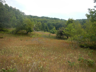
as well as past a pleasant open meadow.
Two nights before, we watched the sun set behind Pyramid Point from Good Harbor Beach.


No comments:
Post a Comment