Friday, May 30, 2014

Balloch Castle Park

Saturday, May, 17 was our first day in Scotland - can't count arriving the night before, 10 hours late, in Glasgow.  It was a cloudy and cool day, with periods of steady rain.  Perfect weather for an afternoon pot of tea, which we all did with a late lunch after a walk and then a boat cruise on Loch Lomand.  This loch is one of the most famous of all in Scotland and is a popular spot for vacations.  We were in the town of Balloch (maybe that means "bottom of the loch," as it is on the southern end of the loch where the river flows out.)

After lunch we took a longer walk around Balloch Castle Park, seeing the wonderful spring flowers, the ruins of the castle, and views of Loch Lomand.  Here are a few photos...

The park had walking trails, many paved, and had been a former estate, so there were lots of managed plantings.
It rained on an off as we walked - see the rain drop on the image?  Welcome to Scotland - the weather was more rainy and cloudy than we expected for May, the driest month, and about 25 degrees F cooler than back home. 
Look at all the skunk cabbage!

"Oh, ye'll tak' the high road, and I'll tak' the low road,
And I'll get to Scotland afore ye;
But me and my true love will never meet again
On the bonnie, bonnie banks o' Loch Lomond."

Here are the interesting ruins of Balloch Castle, our first (of many) castles that we saw.
We thought that this tower on the castle was really interesting.
One of the great things about May in Scotland is all of the flowers.  In this park, many rhododendrons had been planted.  They were a feast for the eyes.


I really liked this little stone house at the entrance to the park.
There is fabulous hiking and many parks - including a National Park - all over the Loch Lomand area.  I had scoped out many hikes to attempt but never go to any of them here because of the late arrival.  Another time, I hope.

Monday, May 26, 2014

Blue Lagoon, Iceland

Our first stop on our Scotland trip was not in the United Kingdom at all, but in Iceland.  Our jet to Glasgow, scheduled to leave at 7:30 AM, was delayed to after 5PM because of labor actions.  There was nothing we could do, although missing our first day in Scotland - lots of stuff planned, including a hike - was frustrating.  At the airport in Kevlavik, we thought there would be a bunch of tours available to pass the time, but I guess one had to travel to Reykjavik to perhaps catch a tour, and that was uncertain.  It is not the peak tourism season in this remote island country, so there was no one at the airport to check with. 

The best we could do was catch a bus to the Blue Lagoon and spend a couple of hours walking around the interesting volcanic regions there on some paths.  Something like 99% of Iceland's energy usage is geothermal, and the hot springs there are a byproduct.  They are very popular with locals year-round for bathing in the very hot springs.  It was really interesting to see, and since we did some short hikes there, I thought I would post a few photos.  This is all natural hot water, courtesy of Mother Nature.  It starts deep in the earth as superheated steam, and eventually surfaces as very hot water - I would say over 100 degrees F.  Look at all the lava rock!
You can see people enjoying the water on a cool day - about 8 degrees C - at the spa.  The water is very healthy for one's skin.
Click on the panoramas for a better look.
It is rugged country here.  It was also the last blue sky and sunshine that we saw for four days.

This panorama gives a good sample of the area here.
It would have been kind of fun to hike up one of these mountains.
I sure hope that I can get back to Iceland some day for some real outdoor adventures.  There is great hiking, boating, and skiing here all over this country, as well as incredible waterfalls, geysers, and volcanoes.  I could never master their language but many people speak amazingly good English here.  Check it out if you want an out of the way adventure in a friendly place.

My rule is that I will not say that I have been to a place unless I get "boots on the ground" for at least a little bit.  Stopping in an airport does not count.  So, although I really wanted to get to Scotland on time, since that didn't happen, at least I can say I visited Iceland for a few hours!

Here is the location of the Blue Lagoon (small blue arrow near the bottom left of the map):

It is near the end of the southern most of the western peninsulas of this island nation.  Iceland is about 40,000 square miles in size (roughly the size of Virginia or Hungary).  It is the 18th biggest island in the world, and is the most sparsely populated nation in Europe, with about 80% of it uninhabited.  Wouldn't it be a fantastic place to explore?

Nine Days in Bonnie Scotland!

Aye, I've been to Bonnie Scotland, just returned late last night (or more accurately, 4AM today Glasgow time).  And, actually, eight days is more accurate.  Nine days were planned, but as fate had it, the employees of IcelandAir decided that the day we were to fly to Glasgow from Iceland was a perfect day for a work action, so we spent most of Friday, May 16, in the airport in Kevlavik, Iceland.  We arrived at our first destination, Balloch, at nearly 11:00PM that day instead of the planned time of about 1PM.  Ah, well.  We did get to see a tiny bit of Iceland, enough to whet my appetite to come back some day for a longer stay.

So, what did we do in Scotland?  Well, we toured a number of castles, drove through the Highlands and stopped at four places, tasted a wee dram of whiskey, took some boat rides on lochs, enjoyed delicious breakfasts at B&B's, saw historic sites and beautiful scenery, had afternoon tea (and evening ales), and enjoyed the hospitality of the friendly Scottish people.  Oh, and of course, I managed to shoe-horn in a hike or two, and a number of walks as well.  Next time, I hope to do more of that.  Time just ran out.  But, stay tuned - more posts to come about my eight days in this fantastic and lovely place!

Here is the approximate route of our nine night trip, arriving at Glasgow and traveling clockwise, stopping at each of the four purple stars: Balloch on Loch Lohmann, Isle of Skye, Loch Ness, and Stirling.  We did side trips to Cullodan east of Inverness and to Edinburgh.  It is a large country - Scotland is about the size of Maine - and so we only covered a small part of this wonderful country.  There is plenty left to see and do on future trips.

Thursday, May 15, 2014

Final Cranberry Post

After my friend Carl sent me the picture below, I knew that I had to write one more post about my ill-fated Cranberry Wilderness four day hike.  His daughter Libby drew this, her impression of the trip.  I think I am the second in line because of the glasses (and two trekking poles).

No, we didn't make Libby the sweep!

Saturday, May 10, 2014

Three Lake Park

I had yesterday (Friday) off, and all week, I planned to go up to Shenandoah National Park to take a hike.  Thursday night, as I lay in bed getting ready to drift off, it suddenly hit me that I had forgotten to pick up my packet for Saturday's race for the cure!  So I altered my plans a lot Friday.  I took care of some chores, including getting my race packet.  But I still made time for a hike at a local park, Three Lakes Park.  My route on this very warm day was maybe 2.5 miles, and I walked around each of the three ponds, such as this one.
This painted turtle was enjoying getting some rays on his perch.
The park has an excellent nature center that includes a very large aquarium.  It is good for all ages, but especially for kids.
My walk was largely over at this point.  You can see a bridge crossing a stream with one of the ponds behind that.  It was a very pleasant walk.  Very few people were there on a work day and a school day.
Since I was a boy, I always like coming across sassafras in the woods.
This skink was one of several that I saw on this stretch of the trail.  They are pretty cool, and hard to get a good look at.
My little trek was not as grand as my original plans, but you know, any time spent walking in a pleasant woods is time well spent, and I didn't have to drive two hours or so each way.  SNP will be there for another hike, one where I do my advance planning and don't forget something else.

Wednesday, May 7, 2014

Cranberry Wilderness Hike - Days Three and Four

Picking back up on my Cranberry Wilderness Hike from days one and two, Saturday April 26 (the third day), we awoke to 32 degree temperatures.  I was warm enough only because I packed my sleeping bag liner.  I had thrown up for the last time at 5PM Friday, and was feeling better and a little hungry.  I had also slept really well, out of sheer exhaustion.  I ate a bagel and drank hot chocolate.  Then Carl and I looked at the map.  We knew that given our slow progress the first two days due to my sickness that completing our 23 mile route was out of the question.  But we saw that there was a trail that cut over the mountains that would loop back to the road.  We guessed it would be about an eight mile hike (it turned out to be 11), and decided to go that way.  On the map below, our Saturday track is in magenta, and Sunday's final hike out to the road was yellow.  We knew we would end up several miles from the car, but Carl said he would go get it.
Below, I've zoomed into a few tricky spots on the first section of Saturday's hike.  We started from our campsite at the red arrow, heading in the direction of the magenta arrow.  After a bit, we reached a dead end, steeply over a river.  This is where the dark blue arrow is pointing.  After some scouting, I found where we had missed the trail, and I scouted ahead to the ford (light blue arrow).  I came back to get Carlton and Libby, who climbed straight up the slope to the correct trail, then we proceeded to the ford to cross the North Fork of the Cranberry River.  At the yellow arrow, there was another spot where the trail left what appeared to be the true trail for a short distance.
Here is the elevation profile for day 3, all but the last 0.8 mile.  I had to switch batteries in my GPS and it recorded that part of the profile in its own segment.  The red arrows show the segment where Carlton ended up carrying my pack, as well as his, for about a half mile because I was so worn out that I was stopping to rest like every 200 feet.  I was exhausted from being sick and eating almost nothing - or at least keeping it down - since Thursday's breakfast.
And here is Sunday's much easier track for the final three mile hike out.
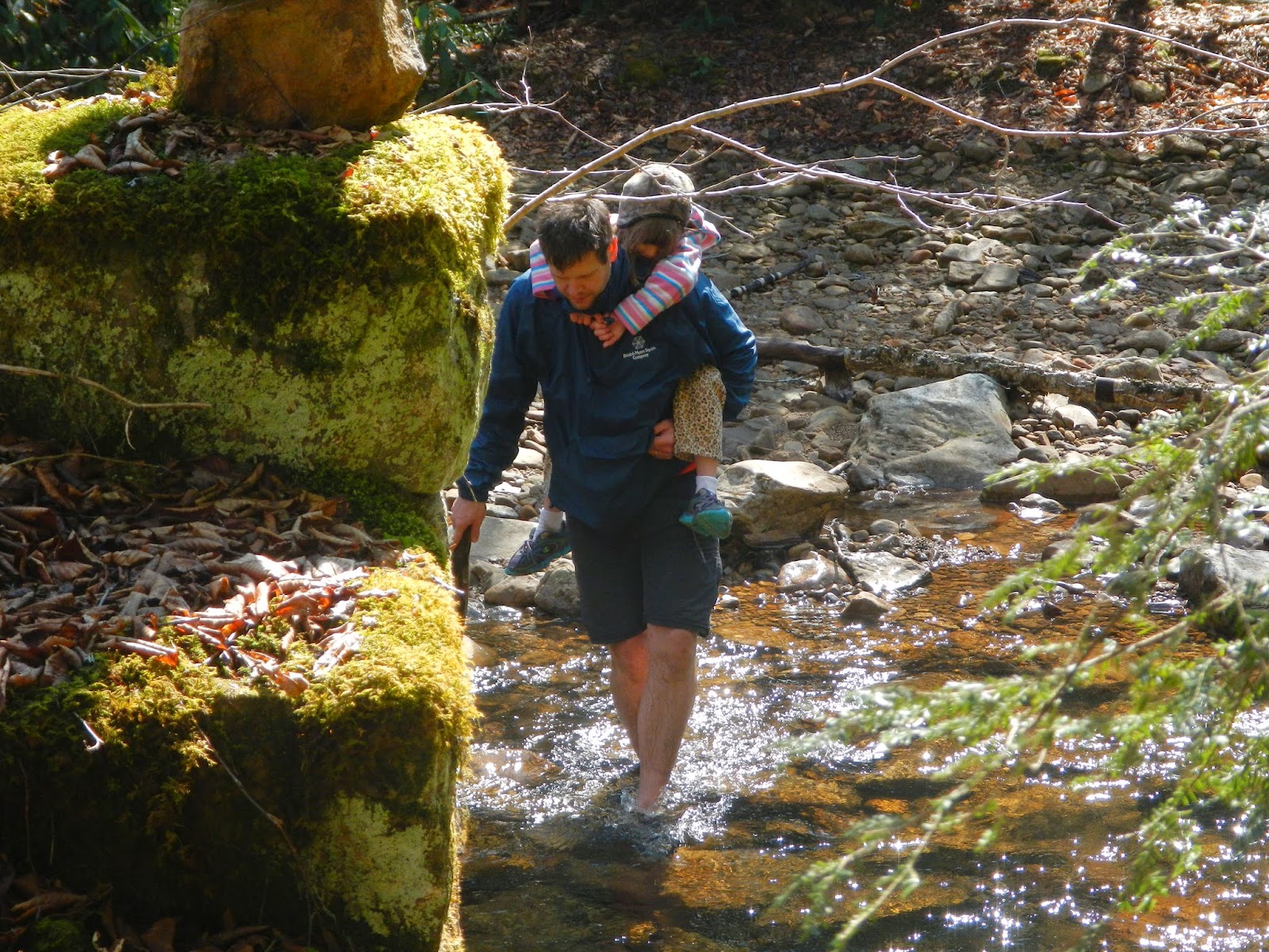
Carl carries his daughter across the ford at the North Fork of the Cranberry River.
Downstream a bit from that point, Libby wanted to camp here at this lovely spot, but we had too far to go.
Carlton and Libby on the trail in the morning.
Had to snap a photo of Carl carrying my pack on his back and his pack in front as I slack-packed up the mountain for about a half mile.  I have rarely felt more worn out.
Once we got up above 4,000 feet, spruce and other conifers were the dominant vegetation.  There were few even lousy spots to camp.
We passed up a potential campsite to look for a better one, and finally settled on this area in a spruce forest.  It was not great but good enough.  I was so worn out that I just lay on the floor of my tent for a half hour.  My dinner was two pieces of cheese and half a dozen dried plums and apricots.  I hung my still-heavy food bag.  When I was sick Thursday night, I almost considered leaving a trail of food to my tent so a bear might come over and put me out of my misery.  By Saturday night, I considered just dumping all the food in a pile so I wouldn't have to keep packing it out.  Usually on a trip, your food bag gets lighter but not this time.

Libby had hoped for a campfire but there was no safe place.  Plus we would have had no spare water to drown the fire.  We had each loaded up with 3-4 liters at the river, knowing our camp would be dry, and we needed that to camp with.  She was disappointed but very good natured about it.

I was very worn out but could not sleep until probably 2AM because of severe heartburn from being sick.  So I listened to the birds of the evening calling, especially the wood thrushes, which I love.  And in the pre-dawn hours, I listened to another barred owl calling.  I love hearing them!
Sunday morning we ate (for me it was two packets of Instant Breakfast that Carl gave me, and a cup of hot chocolate), broke camp, and got ready to hit the trail for the three miles or so back to the road.  Normally, this would have been a very easy hike, but I was so tired that it just felt ridiculously difficult.
The first part of the hike continued in the spruce forest, and we even came to a few boggy sections where we could have filtered some water.
The last mile and a half or so was through a northern hardwood forest, much more open but still no views.
I was so glad to get back to the road!  It was over three miles to the car but Carl volunteered to get it, and off he ran.  I could have run maybe 200 feet by that time.  Libby and I relaxed by the road until her dad returned, then we changed into clean clothing and started the long drive back to Richmond.  At least this time, we knew the way, and it was an uneventful trip.  Our four day backpacking trip to the Cranberry Wilderness - type 2 fun for sure - was over.

I'd love to go back sometime and explore more, hopefully feeling healthy and well the next time!

Friday, May 2, 2014

Cranberry Wilderness Hike - Days One and Two

As I wrote in the overview about this hike, my trek in the Cranberry Wilderness did not turn out as expected due to illness.  We got a late start because of 100 miles of extra driving because of an error on a website that gave directions, and frankly, incompetence on my part for not double-checking the route to the trailhead or at least making sure that I had a state highway map.  But we hit the trail in good spirits late last Thursday.

Our route Thursday, just short of three miles, is shown on the red track.  I forgot to turn on tracking for the first part of Friday's very short hike, but it follows the stream contour from where we camped (red star), and about halfway through the hike of less than 1.5 miles, I did capture the rest of the track (in gray) until we got to Friday night's campsite.
Here is the elevation profile of the first day.  It was an easy downhill walk.
We started out in a dense spruce forest.  Here, Libby and her dad hike along.
I really like spruce forests.  They remind me of Maine.  Plus green is my favorite color.
Even at these moderate latitudes, there are trees of the northern forest.  This one is a large yellow birch.  We found pieces of bark along the trail from birch trees, and we showed Libby how to start a fire using birch bark for tinder.
It was rare on this hike to have a view of anything beyond the forest, but now and then, we would get partial views because there were so few leaves on the trees.  In the distance is the ridge line that the North - South trail follows.
Carl and Libby got a campfire going after we set up our tents near a stream.
Home sweet home for the next half day.  It was at this point that, while I didn't feel sick, I felt no desire to eat anything at all.  I considered making my dinner of vegan curry, but decided against it.  Wise choice, because starting about 10PM I started vomiting over and over all night.  I threw up the lunch from Subway.  I threw up a bowl of cherrios from last week.  I threw up a veggie pizza from last month.  I am pretty sure that I threw up a piece of pumpkin pie from last Thanksgiving!  That is what it felt like, anyway.  I got to the point where I couldn't even leave the tent to puke, just unzipped the flap and stuck my head out.  I was awake all night until sometime after 4:30, when I drifted off for an hour or so in exhaustion.  Somewhere in there, I did hear a barred owl calling, which was cool.  Carl and I also both heard an incredible crash during the night.  It scared us both.  Our guess is that it was a large tree falling somewhere nearby.
In the morning, I tried eating a power bar and some bread, but it came back up later.  After that, I didn't eat a thing all day.  I could not even keep water down until sometime after 5PM.  We decided to break camp and see how far I could get.  It was raining by 11AM when we packed up and hit the trail.
After less than a mile and a half, we came to this lovely spot with a nice large level area for a campsite.  It was raining steadily, and I felt as if I had run a marathon uphill.  I had no strength or energy.  Carl said that we should make camp for safety - my safety - and I was not going to argue.  So we set up camp in the rain.  It was all that I could do to pitch my little tent, blow up my air mattress, and crawl inside.  And that is where I spent the rest of the day for the most part as the rain came down and thunder boomed around us.  During sunny periods, Libby came out to explore and play.  She was happy to have a camp site in such a beautiful spot.
Here I am at our second camp.  This was Saturday morning, and I was not feeling as ill by then, just exhausted.  It was 32 degrees F up in the mountains.
Here are my shirt and trousers, hung from the ceiling of my tent to dry - with mixed success.
We talked about packing out in the morning, just reversing our track, but decided to sleep on it.  I actually stopped vomiting by evening and slept pretty well that night.